2000s (21st Century) Maps of Tracy, California
Explore 12 historic maps of Tracy from the 2000s (21st Century). These maps offer a rare glimpse into what life looked like during the 2000s — showing old roads, neighborhoods, homes, and landmarks that have changed or disappeared over time.
Whether you're researching your family's past, planning a metal detecting trip, or studying how Tracy's landscape evolved across the 2000s, these high-resolution maps are a powerful tool for exploring the history of this region.
- Focus on a specific era: All maps on this page are from the 2000s, giving you a focused view of this time period.
- See what’s changed: Compare century-old streets, trails, and buildings to today's modern landscape using overlays and satellite layers.
- Research with precision: Use these maps for genealogy, historical research, land use analysis, or educational projects.
- View, download, or print: Maps are fully viewable online in high resolution, and can be downloaded or printed for your own records.
Start exploring Tracy's history through authentic maps from the 2000s. This is your window into the past.
Tracy, CA maps
(12)- 2012 Map of Union Island, 2012 Print
 2012 Union Island2012 Print · USGSCovers Tracy, including Lathrop, San Joaquin County, and other nearby areas
 - 2012 Map of Midway, 2012 Print
 2012 Midway2012 Print · USGSCovers Tracy, including Midway, Alameda County, and other nearby areas
 - 2012 Map of Tracy, 2012 Print
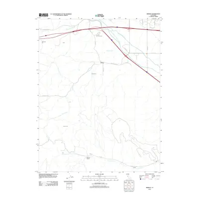
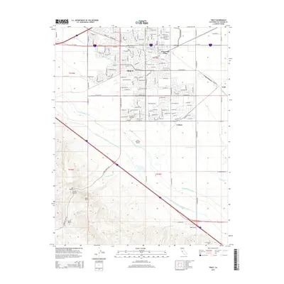
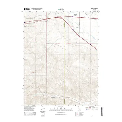
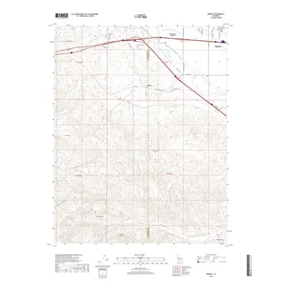
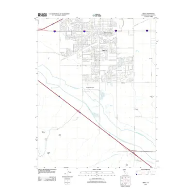 2012 Tracy2012 Print · USGSCovers Tracy, including Carbona, San Joaquin County, and other nearby areas
 - 2015 Map of Tracy, 2015 Print
 2015 Tracy2015 Print · USGSCovers Tracy, including Carbona, San Joaquin County, and other nearby areas
 - 2015 Map of Union Island, 2015 Print
 2015 Union Island2015 Print · USGSCovers Tracy, including Lathrop, San Joaquin County, and other nearby areas
 - 2015 Map of Midway, 2015 Print
 2015 Midway2015 Print · USGSCovers Tracy, including Midway, Alameda County, and other nearby areas
 - 2018 Map of Union Island, 2018 Print
 2018 Union Island2018 Print · USGSCovers Tracy, including Lathrop, San Joaquin County, and other nearby areas
 - 2018 Map of Midway, 2018 Print
 2018 Midway2018 Print · USGSCovers Tracy, including Midway, Alameda County, and other nearby areas
 - 2018 Map of Tracy, 2018 Print
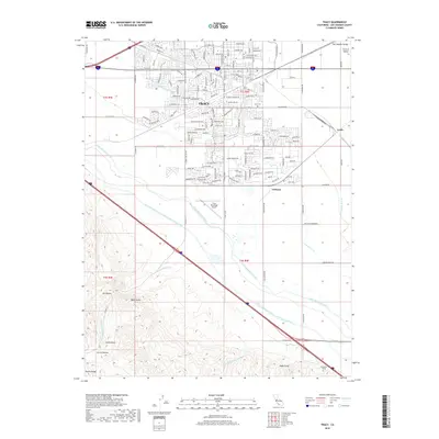 2018 Tracy2018 Print · USGSCovers Tracy, including Carbona, San Joaquin County, and other nearby areas
 - 2021 Map of Midway, 2021 Print
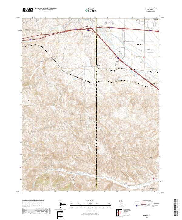 2021 Midway2021 Print · USGSThis Alameda and San Joaquin County borderland shows the convergence of the Central Valley and the Diablo Range in 2021. Researchers can trace massive water projects like the Governor Edmund G Brown California Aqueduct alongside local features such as Midway and Corral Hollow.
 - 2021 Map of Union Island, 2021 Print
 2021 Union Island2021 Print · USGSSan Joaquin County’s delta landscape is captured in the early 2020s, showing the intersection of reclaimed farmland and expanding city limits. Trace the intricate waterways of Union Island and Old River alongside the growth of Tracy and Lathrop.
 - 2021 Map of Tracy, 2021 Print
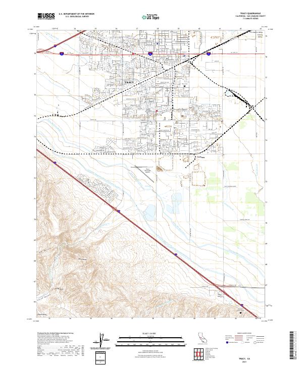 2021 Tracy2021 Print · USGSThe growing San Joaquin Valley hub of Tracy is captured here alongside the massive engineering of the California Aqueduct and Delta-Mendota Canal. Researchers can locate family landmarks like the Brichetto Tomb - Grave, the Tracy Cem, and the rail-side community of Carbona.
End of results
Showing maps 1-12 of 12
Top cities near Tracy
- Stockton historical maps
- Brentwood historical maps
- Mountain House historical maps
- Lathrop historical maps
- Discovery Bay historical maps
- Byron historical maps
Top neighborhoods of Tracy
- Ryland Junction historical maps
- Bridle Creek historical maps
- Ellis historical maps
- Sunset Park historical maps
- Victoria Greens historical maps
- Sienna Park historical maps
See more
Frequently asked questions
- What are the different types of historical maps available for Tracy?
- What is the oldest map of Tracy?
- Where can I purchase historical maps of Tracy for my home or office?
- Where can I download high-res historical maps of Tracy?
- Are there historical topographic maps available for Tracy?
- Is there historical aerial imagery available for Tracy?
- Where are historical maps of Tracy sourced from?