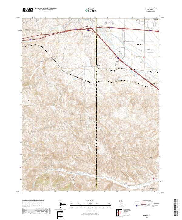
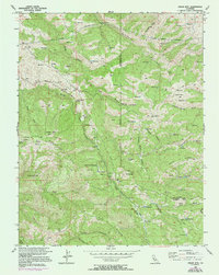
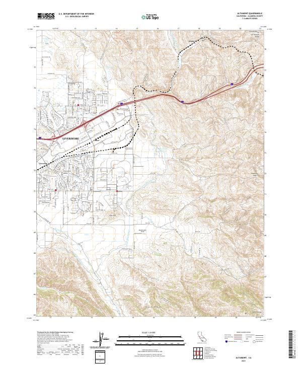
2021 Map of Midway
USGS Topo · Published 2021About this map
The Alameda Co San Joaquin Co border bisects a landscape defined by massive water infrastructure and the transition from the Central Valley into the Diablo Range. The Governor Edmund G Brown California Aqueduct and the Delta-Mendota Canal run nearly parallel as they cut through the terrain toward the south, illustrating the scale of 20th-century water management in California. These engineering feats contrast with the natural drainage of Patterson Run and Corral Hollow Cr, which carve deep into the southern uplands.
Find a feature on this map
40 named features on this map. Tap any name to fly to it.
Don’t see what you’re looking for? This feature index may not catch every label — zoom into the map to look around manually.
Map Details
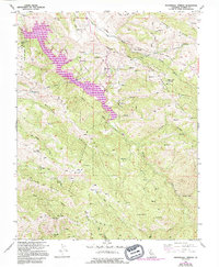
Editions of this 2021 Midway Map
This is the sole edition of this map. No revisions or reprints were ever made.
Historical Maps of Tracy Through Time
31 maps found
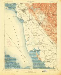
1899 Haywards
Alameda County, CA
1907 Tesla
Alameda County, CA

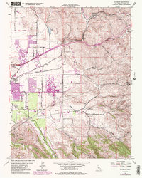
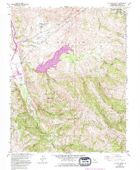
1916 Midway
Alameda County, CA

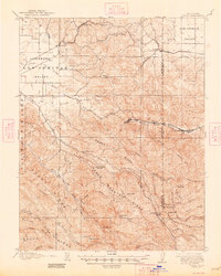
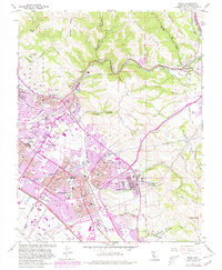
1942 Altamont
Alameda County, CA

1943 Tesla
Alameda County, CA
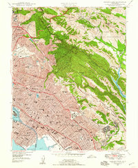
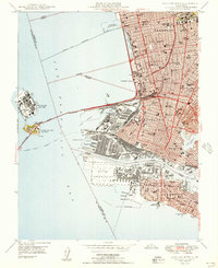
1947 Oakland East
Alameda County, CA

1949 Oakland East
Alameda County, CA
1949 Oakland West
Alameda County, CA
1953 Altamont
Alameda County, CA
1953 La Costa Valley
Alameda County, CA
1953 Midway
Alameda County, CA

1953 Niles
Alameda County, CA
1956 Cedar Mtn
Alameda County, CA
1956 Mendenhall Springs
Alameda County, CA
1959 Oakland East
Alameda County, CA
1959 Oakland West
Alameda County, CA
1960 La Costa Valley
Alameda County, CA
1961 Niles
Alameda County, CA

1968 La Costa Valley
Alameda County, CA

1993 Oakland West
Alameda County, CA

1996 La Costa Valley
Alameda County, CA

1996 Mendenhall Springs
Alameda County, CA

1997 Oakland East
Alameda County, CA
2021 Altamont
Alameda County, CA
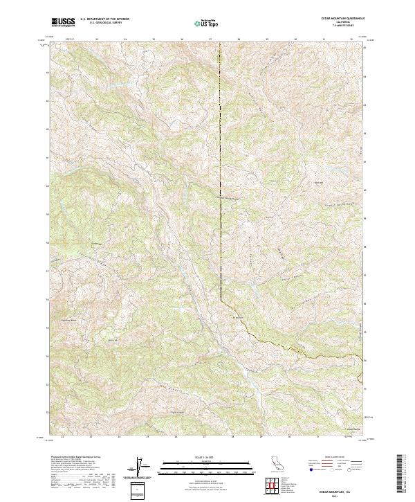
2021 Cedar Mountain
Alameda County, CA

2021 La Costa Valley
Alameda County, CA

2021 Mendenhall Springs
Alameda County, CA
2021 Midway
Alameda County, CA
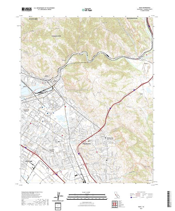
2021 Niles
Alameda County, CA
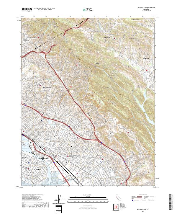
2021 Oakland East
Alameda County, CA

2021 Oakland West
Alameda County, CA