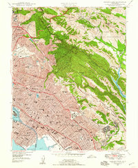
1947 Map of Oakland East
USGS Topo · Published 1958About this map
Oakland and the surrounding East Bay hills reveal a post-war landscape of rapid residential expansion and significant institutional footprints. From the University of California in Berkeley to the Oak Knoll Naval Hospital further south, the map illustrates how civic and military infrastructure shaped the region's mid-century character. The transition from dense urban grids to the wooded heights of Redwood Regional Park and Joaquin Miller Park is sharply defined, highlighting the preserved greenbelts of the Laguna de los Palos Colorados.
Find a feature on this map
121 named features on this map. Tap any name to fly to it.
Don’t see what you’re looking for? This feature index may not catch every label — zoom into the map to look around manually.
Map Details
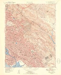
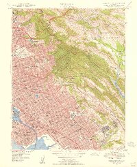
Editions of this 1947 Oakland East Map
3 editions found
Other maps of this area

1892 · San Mateo
USGS Topo · 1:62,500

1895 · San Francisco
USGS Topo · 1:62,500

1896 · San Mateo
USGS Topo · 1:62,500

1897 · Concord
USGS Topo · 1:62,500

1899 · San Francisco
USGS Topo · 1:62,500

1899 · Haywards
USGS Topo · 1:62,500

1899 · San Mateo
USGS Topo · 1:62,500

1915 · San Mateo
USGS Topo · 1:62,500

1915 · Haywards
USGS Topo · 1:62,500

1915 · Concord
USGS Topo · 1:62,500