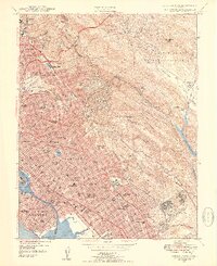
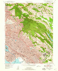
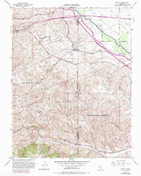
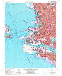
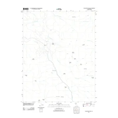
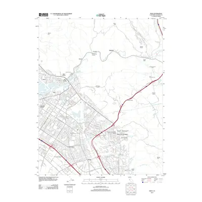
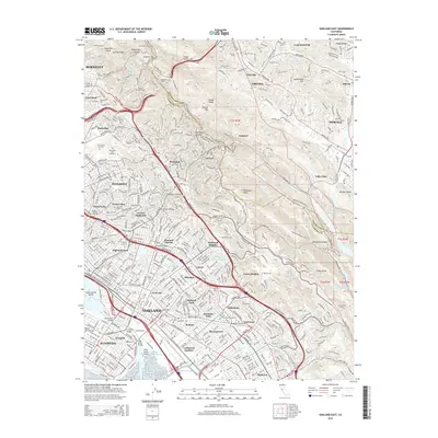
1947 Map of Oakland East
USGS Topo · Published 1954About this map
The Berkeley Hills and Moraga Valley define the rugged eastern backdrop of the East Bay in this late 1940s survey. Dense urban development blankets the flats and foothills of Oakland, Berkeley, and Alameda, revealing a landscape transition from the campus of the University of California down to the industrial waterfront of the Tidal Canal and Brooklyn Basin.
Find a feature on this map
129 named features on this map. Tap any name to fly to it.
Don’t see what you’re looking for? This feature index may not catch every label — zoom into the map to look around manually.
Map Details
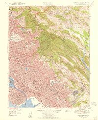
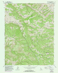
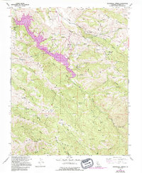
Editions of this 1947 Oakland East Map
3 editions found
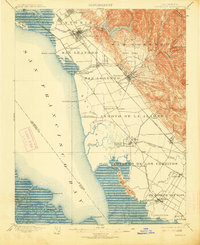
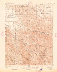
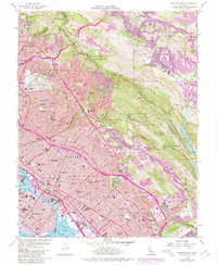
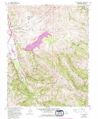
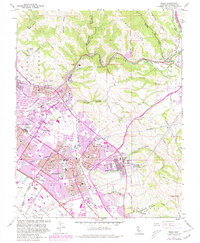
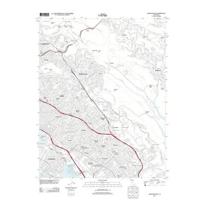
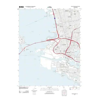
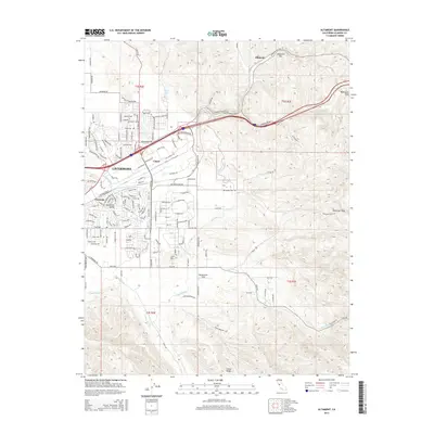
Historical Maps of Oakland Through Time
55 maps found
1899 Haywards
Alameda County, CA
1907 Tesla
Alameda County, CA

1916 Midway
Alameda County, CA

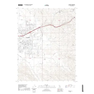
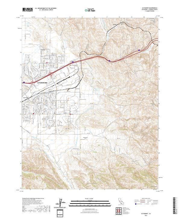
1942 Altamont
Alameda County, CA

1943 Tesla
Alameda County, CA
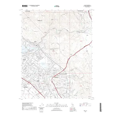
1947 Oakland East
Alameda County, CA

1949 Oakland East
Alameda County, CA
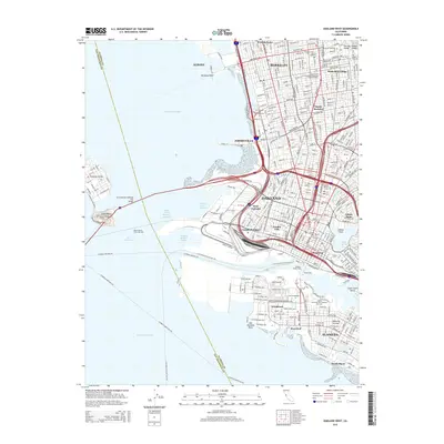
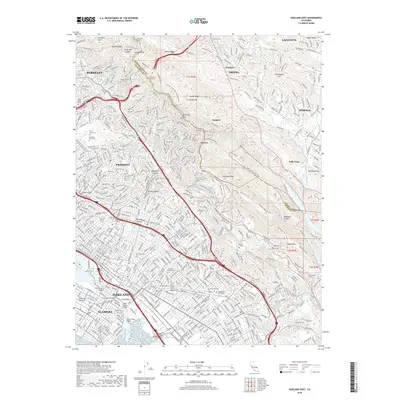
1949 Oakland West
Alameda County, CA
1953 Altamont
Alameda County, CA
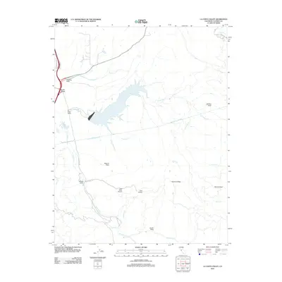
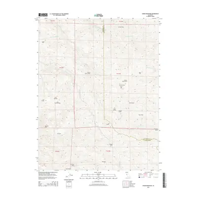
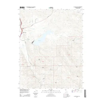
1953 La Costa Valley
Alameda County, CA
1953 Midway
Alameda County, CA

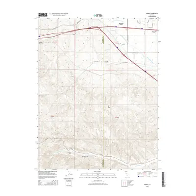
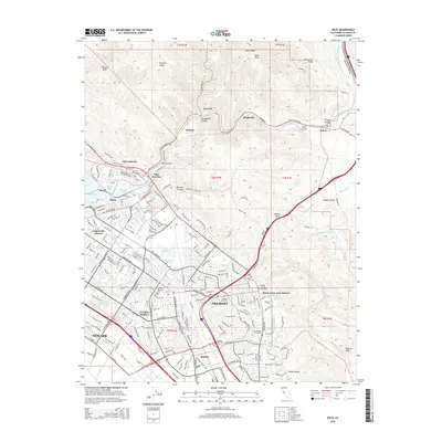
1953 Niles
Alameda County, CA
1956 Cedar Mtn
Alameda County, CA
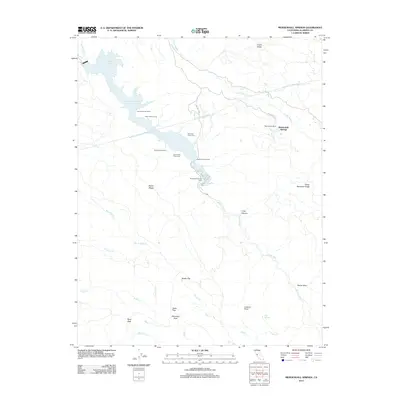
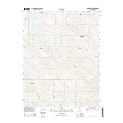
1956 Mendenhall Springs
Alameda County, CA
1959 Oakland East
Alameda County, CA
1959 Oakland West
Alameda County, CA
1960 La Costa Valley
Alameda County, CA
1961 Niles
Alameda County, CA

1968 La Costa Valley
Alameda County, CA

1993 Oakland West
Alameda County, CA

1996 La Costa Valley
Alameda County, CA

1996 Mendenhall Springs
Alameda County, CA

1997 Oakland East
Alameda County, CA
2012 Altamont
Alameda County, CA
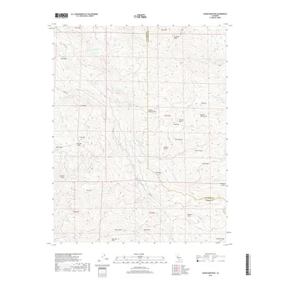
2012 Cedar Mountain
Alameda County, CA
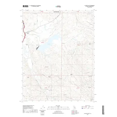
2012 La Costa Valley
Alameda County, CA
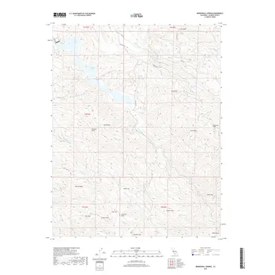
2012 Mendenhall Springs
Alameda County, CA
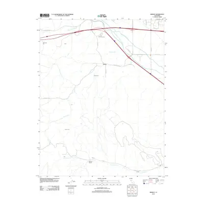
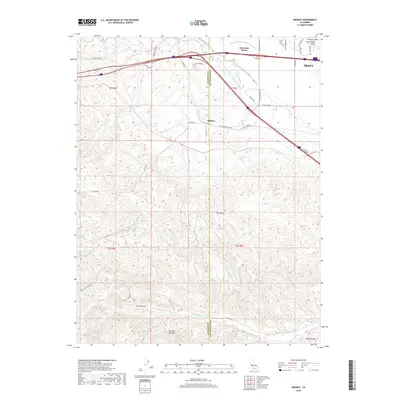
2012 Midway
Alameda County, CA
2012 Niles
Alameda County, CA
2012 Oakland East
Alameda County, CA
2012 Oakland West
Alameda County, CA
2015 Altamont
Alameda County, CA
2015 Cedar Mountain
Alameda County, CA
2015 La Costa Valley
Alameda County, CA
2015 Mendenhall Springs
Alameda County, CA
2015 Midway
Alameda County, CA
2015 Niles
Alameda County, CA
2015 Oakland East
Alameda County, CA
2015 Oakland West
Alameda County, CA
2018 Altamont
Alameda County, CA
2018 Cedar Mountain
Alameda County, CA
2018 La Costa Valley
Alameda County, CA
2018 Mendenhall Springs
Alameda County, CA
2018 Midway
Alameda County, CA
2018 Niles
Alameda County, CA
2018 Oakland East
Alameda County, CA
2018 Oakland West
Alameda County, CA
2021 Altamont
Alameda County, CA
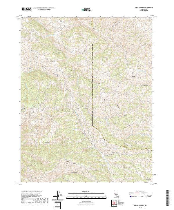
2021 Cedar Mountain
Alameda County, CA

2021 La Costa Valley
Alameda County, CA

2021 Mendenhall Springs
Alameda County, CA
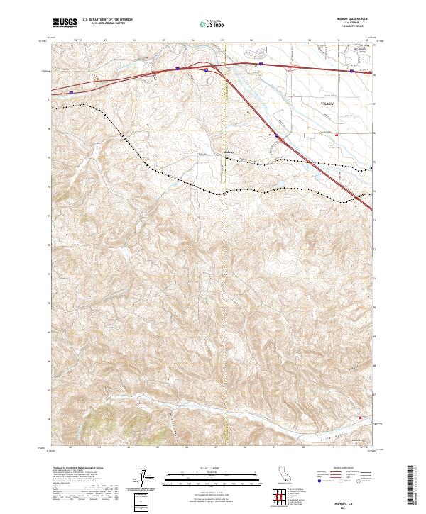
2021 Midway
Alameda County, CA
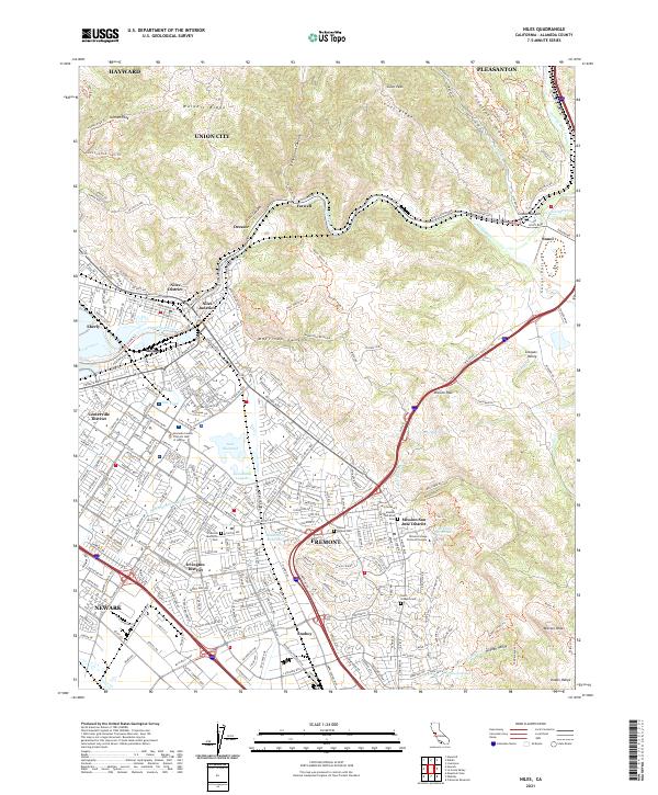
2021 Niles
Alameda County, CA
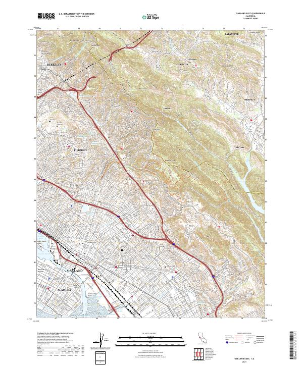
2021 Oakland East
Alameda County, CA

2021 Oakland West
Alameda County, CA