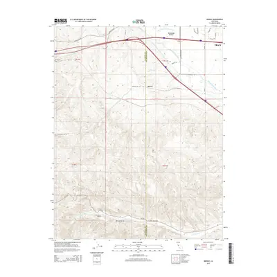
2015 Map of Midway
USGS Topo · Published 2015About this map
The Governor Edmund G Brown California Aqueduct and Delta-Mendota Canal dominate this landscape west of Tracy, illustrating the massive scale of modern water infrastructure in the San Joaquin Valley. These industrial waterways cut across the terrain, running parallel through the eastern foothills where the Alameda and San Joaquin county line meets. To the west, the topography shifts into the steep ravines and ridges of the Diablo Range, marked by features such as Mitchell Ravine, Elk Ravine, and the significant valley of Corral Hollow.
Find a feature on this map
33 named features on this map. Tap any name to fly to it.
Don’t see what you’re looking for? This feature index may not catch every label — zoom into the map to look around manually.
Map Details
Editions of this 2015 Midway Map
This is the sole edition of this map. No revisions or reprints were ever made.
Other maps of this area

1907 · Tesla
USGS Topo · 1:62,500

1911 · Byron Hot Springs
USGS Topo · 1:31,680

1914 · Bethany
USGS Topo · 1:31,680

1914 · Union Island
USGS Topo · 1:31,680

1916 · Byron Hot Springs
USGS Topo · 1:31,680

1916 · Byron
USGS Topo · 1:62,500

1916 · Tracy
USGS Topo · 1:31,680

1916 · Midway
USGS Topo · 1:31,680

1922 · Carbona
USGS Topo · 1:62,500

1940 · Byron
USGS Topo · 1:62,500