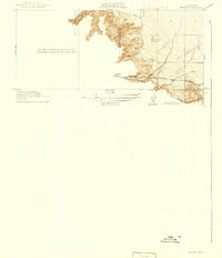
1916 Map of Midway
USGS Topo · Published 1942About this map
The small settlement of Midway sits at the base of the Altamont Pass hills, marking a critical transition point for California's early 20th-century transportation network. This survey, conducted in 1912, shows the convergence of the Southern Pacific and Western Pacific railroads as they navigate the shifting elevations of the Diablo Range. The presence of Bm 351 at the rail stop underscores the importance of precise surveying for steam-era engineering in this corridor. The landscape is defined by the sharp transition from the flatlands into the winding drainages of Patterson Run and the area near Mountainhouse. The boundary between Alameda Co and San Joaquin Co cuts through these hills, illustrating how the natural topography dictated the political divisions between the East Bay and the Central Valley during this period of expansion.
Find a feature on this map
7 named features on this map. Tap any name to fly to it.
Don’t see what you’re looking for? This feature index may not catch every label — zoom into the map to look around manually.
Map Details
Editions of this 1916 Midway Map
3 editions found
Other maps of this area

1907 · Tesla
USGS Topo · 1:62,500

1911 · Byron Hot Springs
USGS Topo · 1:31,680

1914 · Bethany
USGS Topo · 1:31,680

1914 · Union Island
USGS Topo · 1:31,680

1916 · Byron Hot Springs
USGS Topo · 1:31,680

1916 · Byron
USGS Topo · 1:62,500

1916 · Tracy
USGS Topo · 1:31,680

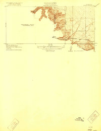
1916 · Midway
USGS Topo · 1:31,680

1922 · Carbona
USGS Topo · 1:62,500

1940 · Byron
USGS Topo · 1:62,500