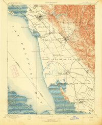
1899 Map of Haywards
USGS Topo · Published 1913About this map
San Francisco Bay’s eastern shore is defined here by an intricate network of sloughs and landings that supported the region's early maritime economy. At the turn of the century, this landscape was dominated by industrial salt production, evidenced by the Union City Salt Works and Crystal Salt Works located near the tidal marshes. The topography transitions sharply from the coastal flats of San Lorenzo and Arroyo de la Alameda into the steep ridges of the San Lorenzo land grant. Significant development is visible along the Southern Pacific R. R. lines, which connected established hubs like San Leandro and Haywards to specialized waterfront outposts such as Roberts Landing and Jarvis Landing. This era shows the East Bay as a series of distinct agricultural and industrial settlements before the mid-century urban expansion joined them into a continuous metropolitan corridor.
Find a feature on this map
65 named features on this map. Tap any name to fly to it.
Don’t see what you’re looking for? This feature index may not catch every label — zoom into the map to look around manually.
Map Details
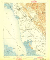
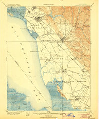
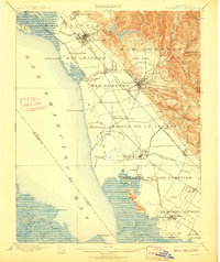
Editions of this 1899 Haywards Map
5 editions found

Other maps of this area

1889 · San Jose
USGS Topo · 1:62,500

1892 · San Mateo
USGS Topo · 1:62,500

1895 · San Francisco
USGS Topo · 1:62,500

1896 · San Mateo
USGS Topo · 1:62,500

1896 · Mt. Diablo
USGS Topo · 1:62,500

1897 · San Jose
USGS Topo · 1:62,500

1897 · Concord
USGS Topo · 1:62,500

1897 · Palo Alto
USGS Topo · 1:62,500

1898 · Mt. Diablo
USGS Topo · 1:62,500

1899 · San Jose
USGS Topo · 1:62,500