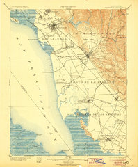
1899 Map of Haywards
USGS Topo · Published 1906About this map
Salt production and rail transport define the East Bay shoreline in this late 19th-century survey. The landscape is dominated by the Union City Salt Works and Crystal Salt Works along the tidal marshes, where numerous landings like Mulford Landing and Jarvis Landing served the commercial needs of the San Francisco Bay. Inland, the expansion of the Southern Pacific R. R. and the Livermore and Santa Cruz divisions of the South Pacific Coast line facilitated the growth of agricultural and residential hubs such as Haywards, San Leandro, and Decoto.
Find a feature on this map
69 named features on this map. Tap any name to fly to it.
Don’t see what you’re looking for? This feature index may not catch every label — zoom into the map to look around manually.
Map Details
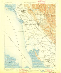
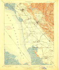
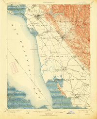
Editions of this 1899 Haywards Map
5 editions found

Other maps of this area

1889 · San Jose
USGS Topo · 1:62,500

1892 · San Mateo
USGS Topo · 1:62,500

1895 · San Francisco
USGS Topo · 1:62,500

1896 · San Mateo
USGS Topo · 1:62,500

1896 · Mt. Diablo
USGS Topo · 1:62,500

1897 · San Jose
USGS Topo · 1:62,500

1897 · Concord
USGS Topo · 1:62,500

1897 · Palo Alto
USGS Topo · 1:62,500

1898 · Mt. Diablo
USGS Topo · 1:62,500

1899 · San Jose
USGS Topo · 1:62,500