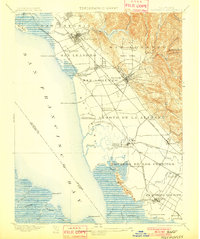
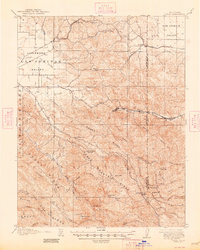
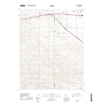
1899 Map of Haywards
USGS Topo · Published 1901About this map
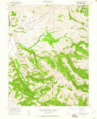
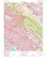
Lake Chabot and the surrounding canyons of the Berkeley Hills dominate the eastern landscape of this late nineteenth-century survey. The East Bay shoreline is defined by extensive salt marshes and industry, anchored by the Union City Salt Works and Crystal Salt Works. This era predates the heavy industrialization of the twentieth century, showing a network of landings such as Mulford Landing, Roberts Landing, and Johnson Landing that served as vital maritime links for local agriculture. The interior reveals the early layout of settlements like Haywards, San Leandro, and Alvarado alongside the Southern Pacific R. R. routes. Large historical land grants including Potrerro de los Cerritos and Ex Mission San Jose still define the cadastral boundaries, reflecting the region's transition from Spanish-era ranchos to a developing rail-and-maritime economy.
Find a feature on this map
69 named features on this map. Tap any name to fly to it.
Don’t see what you’re looking for? This feature index may not catch every label — zoom into the map to look around manually.
Map Details
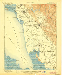
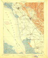
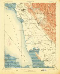
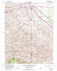
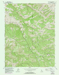
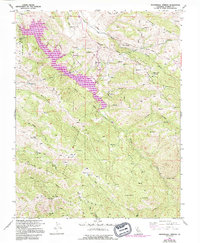
Editions of this 1899 Haywards Map
5 editions found

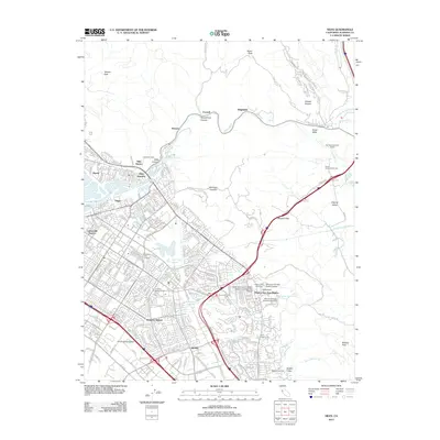
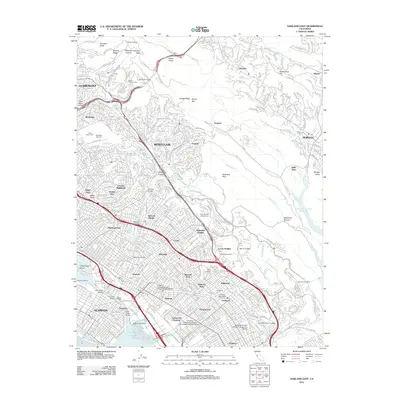
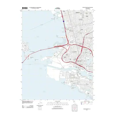
Historical Maps of Oakland Through Time
55 maps found
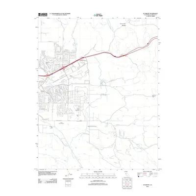
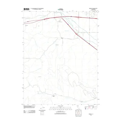
1899 Haywards
Alameda County, CA
1907 Tesla
Alameda County, CA

1916 Midway
Alameda County, CA

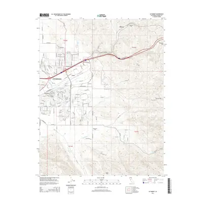
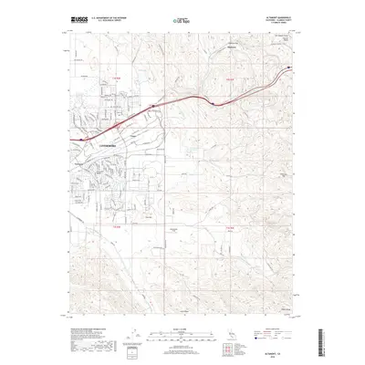
1942 Altamont
Alameda County, CA

1943 Tesla
Alameda County, CA
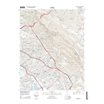
1947 Oakland East
Alameda County, CA

1949 Oakland East
Alameda County, CA
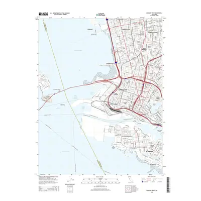
1949 Oakland West
Alameda County, CA
1953 Altamont
Alameda County, CA
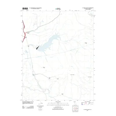
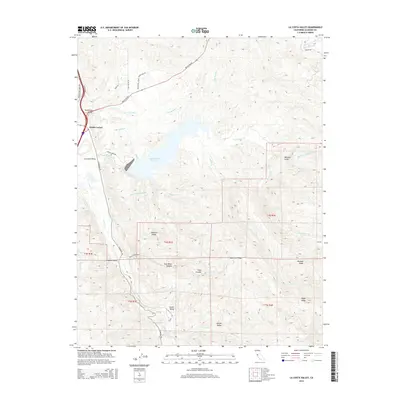
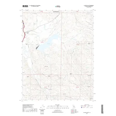
1953 La Costa Valley
Alameda County, CA
1953 Midway
Alameda County, CA

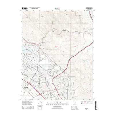
1953 Niles
Alameda County, CA
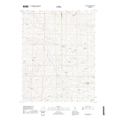
1956 Cedar Mtn
Alameda County, CA
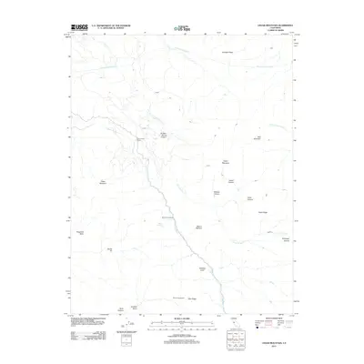
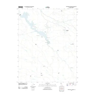
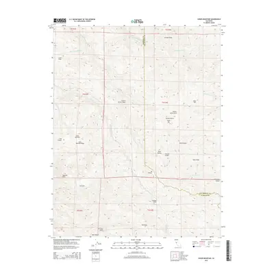
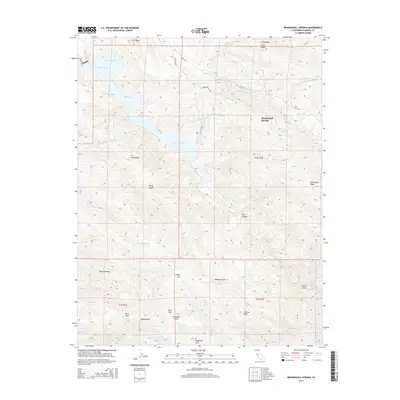
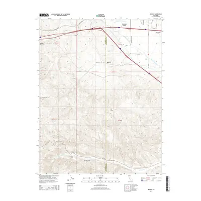
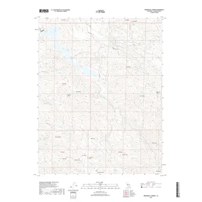
1956 Mendenhall Springs
Alameda County, CA
1959 Oakland East
Alameda County, CA
1959 Oakland West
Alameda County, CA
1960 La Costa Valley
Alameda County, CA
1961 Niles
Alameda County, CA

1968 La Costa Valley
Alameda County, CA

1993 Oakland West
Alameda County, CA

1996 La Costa Valley
Alameda County, CA

1996 Mendenhall Springs
Alameda County, CA

1997 Oakland East
Alameda County, CA
2012 Altamont
Alameda County, CA
2012 Cedar Mountain
Alameda County, CA
2012 La Costa Valley
Alameda County, CA
2012 Mendenhall Springs
Alameda County, CA
2012 Midway
Alameda County, CA
2012 Niles
Alameda County, CA
2012 Oakland East
Alameda County, CA
2012 Oakland West
Alameda County, CA
2015 Altamont
Alameda County, CA
2015 Cedar Mountain
Alameda County, CA
2015 La Costa Valley
Alameda County, CA
2015 Mendenhall Springs
Alameda County, CA
2015 Midway
Alameda County, CA
2015 Niles
Alameda County, CA
2015 Oakland East
Alameda County, CA
2015 Oakland West
Alameda County, CA
2018 Altamont
Alameda County, CA
2018 Cedar Mountain
Alameda County, CA
2018 La Costa Valley
Alameda County, CA
2018 Mendenhall Springs
Alameda County, CA
2018 Midway
Alameda County, CA
2018 Niles
Alameda County, CA
2018 Oakland East
Alameda County, CA
2018 Oakland West
Alameda County, CA
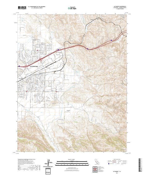
2021 Altamont
Alameda County, CA
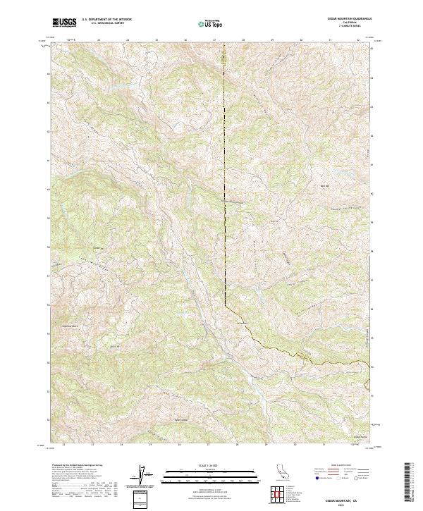
2021 Cedar Mountain
Alameda County, CA

2021 La Costa Valley
Alameda County, CA

2021 Mendenhall Springs
Alameda County, CA
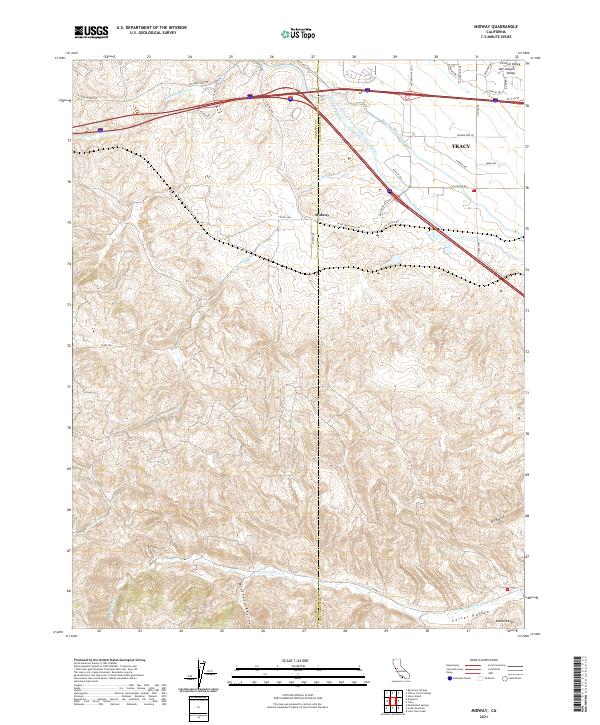
2021 Midway
Alameda County, CA
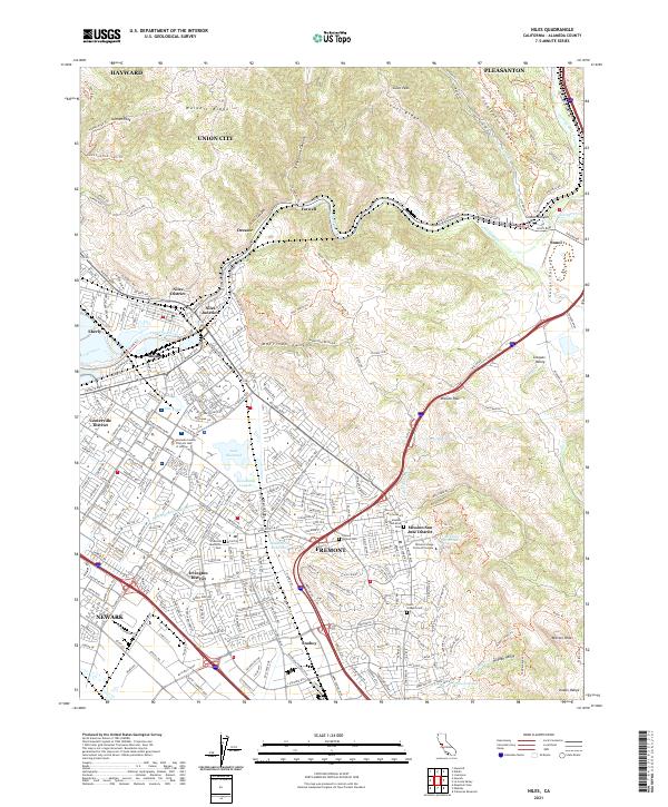
2021 Niles
Alameda County, CA
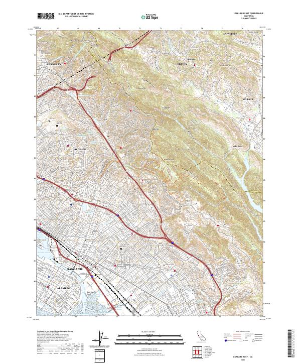
2021 Oakland East
Alameda County, CA

2021 Oakland West
Alameda County, CA