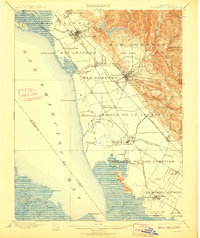
1899 Map of Haywards
USGS Topo · Published 1910About this map
The East Bay shoreline at the turn of the century is defined by a deep-rooted salt industry and a network of maritime landings. Large industrial footprints such as the Union City Salt Works and Crystal Salt Works occupy the marshlands of the Potrero de los Cerritos, illustrating the area's early economic reliance on the bay's natural resources. Moving inland, the landscape transitions from the coastal Haywards Landing and Roberts Landing to the fertile agricultural stretches of San Antonio and the foothills of Castro Valley. This era shows the expansion of the Southern Pacific R. R. and the Santa Cruz Division, which spurred the growth of transit hubs like Haywards and San Leandro. Notable land grants and historical tracts like the Ex Mission San Jose remain prominently labeled, reflecting the region's Spanish and Mexican heritage before suburban development altered these boundaries.
Find a feature on this map
63 named features on this map. Tap any name to fly to it.
Don’t see what you’re looking for? This feature index may not catch every label — zoom into the map to look around manually.
Map Details
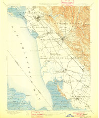
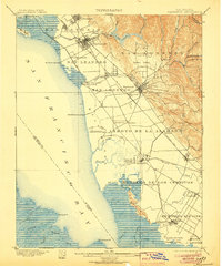
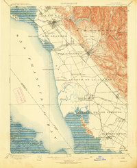
Editions of this 1899 Haywards Map
5 editions found

Other maps of this area

1889 · San Jose
USGS Topo · 1:62,500

1892 · San Mateo
USGS Topo · 1:62,500

1895 · San Francisco
USGS Topo · 1:62,500

1896 · San Mateo
USGS Topo · 1:62,500

1896 · Mt. Diablo
USGS Topo · 1:62,500

1897 · San Jose
USGS Topo · 1:62,500

1897 · Concord
USGS Topo · 1:62,500

1897 · Palo Alto
USGS Topo · 1:62,500

1898 · Mt. Diablo
USGS Topo · 1:62,500

1899 · San Jose
USGS Topo · 1:62,500