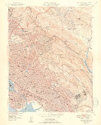
1949 Map of Oakland East
USGS Topo · Published 1949About this map
Berkeley Hills and the winding course of San Leandro Creek dominate this post-war landscape, capturing the rapid expansion of the East Bay before the densification of later decades. The map highlights massive institutional and recreational tracts that still define the region, from the University of California campus and Stadium in the north to the sprawling grounds of Mills College and the Oak Knoll Naval Hospital further south. The survey reveals a complex urban-wildland interface, where densely packed residential blocks in Oakland and Piedmont abruptly give way to the forested slopes of Joaquin Miller Park and Redwood Regional Park. Historical landmarks like the Chabot Observatory and the Mountain View Cemetery are meticulously detailed, while the Upper San Leandro Reservoir and Lake Temescal Regional Park illustrate the vital role of water management in this growing metropolitan corridor.
Find a feature on this map
113 named features on this map. Tap any name to fly to it.
Don’t see what you’re looking for? This feature index may not catch every label — zoom into the map to look around manually.
Map Details
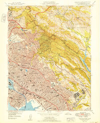
Editions of this 1949 Oakland East Map
2 editions found
Other maps of this area

1892 · San Mateo
USGS Topo · 1:62,500

1895 · San Francisco
USGS Topo · 1:62,500

1896 · San Mateo
USGS Topo · 1:62,500

1897 · Concord
USGS Topo · 1:62,500

1899 · San Francisco
USGS Topo · 1:62,500

1899 · Haywards
USGS Topo · 1:62,500

1899 · San Mateo
USGS Topo · 1:62,500

1915 · San Mateo
USGS Topo · 1:62,500

1915 · Haywards
USGS Topo · 1:62,500

1915 · Concord
USGS Topo · 1:62,500