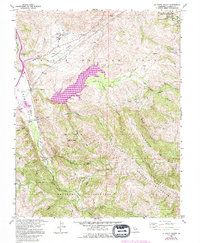
1960 Map of La Costa Valley
USGS Topo · Published 1994About this map
San Antonio Reservoir anchors this landscape in the hills south of Livermore, where the waters of San Antonio Creek are held within the valley of Valle de San Jose. The 1960s era brought significant infrastructure to the region, including the Hetch Hetchy Aqueduct and the Vallecitos Nuclear Center in Vallecitos Valley. This survey captures the transition of the land from traditional ranching and water management toward a focus on protected open space and nuclear research.
Find a feature on this map
37 named features on this map. Tap any name to fly to it.
Don’t see what you’re looking for? This feature index may not catch every label — zoom into the map to look around manually.
Map Details
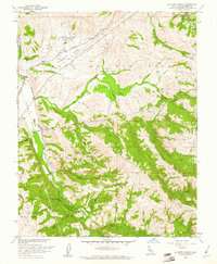
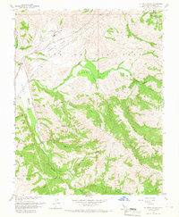
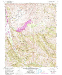
Editions of this 1960 La Costa Valley Map
4 editions found
Other maps of this area

1889 · San Jose
USGS Topo · 1:62,500

1897 · San Jose
USGS Topo · 1:62,500

1897 · Mt. Hamilton
USGS Topo · 1:62,500

1899 · San Jose
USGS Topo · 1:62,500

1906 · Pleasanton
USGS Topo · 1:62,500

1907 · Tesla
USGS Topo · 1:62,500

1941 · Pleasanton
USGS Topo · 1:62,500

1942 · Mt. Hamilton
USGS Topo · 1:62,500

1942 · Altamont
USGS Topo · 1:62,500

1943 · Pleasanton
USGS Topo · 1:62,500