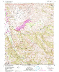
1960 Map of La Costa Valley
USGS Topo · Published 1991About this map
The Vallecitos Atomic Laboratory sits prominently in the north, representing the nuclear energy research era of the mid-twentieth century near the Valle de San Jose. This landscape is defined by its water infrastructure and protected lands, dominated by the massive San Antonio Reservoir and the Hetch Hetchy Aqueduct snaking through the hills. To the south, the terrain becomes increasingly steep and undeveloped, preserved within the Sunol Regional Wilderness and Mission Peak Regional Preserve. A few localized industrial signatures are present, such as the Gravel Pits along San Antonio Creek, while Scotts Corner provides a small reference point for local travel. The map illustrates a complex geography where high-technology facilities and critical water systems meet the expansive ridges of Apperso n Ridge and Sunol Ridge.
Find a feature on this map
27 named features on this map. Tap any name to fly to it.
Don’t see what you’re looking for? This feature index may not catch every label — zoom into the map to look around manually.
Map Details
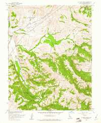
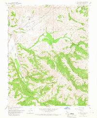
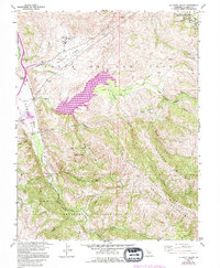
Editions of this 1960 La Costa Valley Map
4 editions found
Other maps of this area

1889 · San Jose
USGS Topo · 1:62,500

1897 · San Jose
USGS Topo · 1:62,500

1897 · Mt. Hamilton
USGS Topo · 1:62,500

1899 · San Jose
USGS Topo · 1:62,500

1906 · Pleasanton
USGS Topo · 1:62,500

1907 · Tesla
USGS Topo · 1:62,500

1941 · Pleasanton
USGS Topo · 1:62,500

1942 · Mt. Hamilton
USGS Topo · 1:62,500

1942 · Altamont
USGS Topo · 1:62,500

1943 · Pleasanton
USGS Topo · 1:62,500