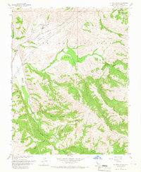
1960 Map of La Costa Valley
USGS Topo · Published 1967About this map
The Vallecitos Atomic Laboratory stands as a prominent technological landmark within the Vallecitos Valley, signaling the area's mid-century role in nuclear research. This 1960s landscape in southern Alameda County reveals a complex network of infrastructure, dominated by the Hetch Hetchy Aqueduct and the Vallecitos Road corridor near Scotts Corner. The terrain is defined by the sharp elevations of Maguire Peaks and the prominent Waurab Ridge, which separate the various drainage basins of San Antonio Creek and Alameda Creek. Historically, the map provides detail on the boundaries of the Ex Mission San Jose, illustrating the transition from Spanish colonial land grants to modern industrial and utility development. The presence of a Gravel Pit and multiple gaging stations suggests an economy focused on resource extraction and water management for the growing Bay Area.
Find a feature on this map
32 named features on this map. Tap any name to fly to it.
Don’t see what you’re looking for? This feature index may not catch every label — zoom into the map to look around manually.
Map Details
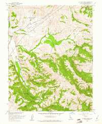
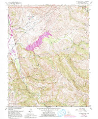
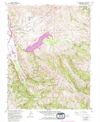
Editions of this 1960 La Costa Valley Map
4 editions found
Other maps of this area

1889 · San Jose
USGS Topo · 1:62,500

1897 · San Jose
USGS Topo · 1:62,500

1897 · Mt. Hamilton
USGS Topo · 1:62,500

1899 · San Jose
USGS Topo · 1:62,500

1906 · Pleasanton
USGS Topo · 1:62,500

1907 · Tesla
USGS Topo · 1:62,500

1941 · Pleasanton
USGS Topo · 1:62,500

1942 · Mt. Hamilton
USGS Topo · 1:62,500

1942 · Altamont
USGS Topo · 1:62,500

1943 · Pleasanton
USGS Topo · 1:62,500