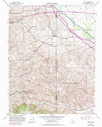
1953 Map of Midway
USGS Topo · Published 1986About this map
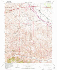
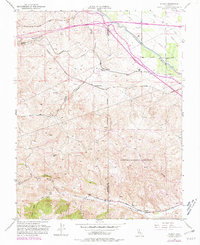
The rugged hills of the Altamont Pass area are defined by a complex network of transportation and water infrastructure as they appeared in the early 1950s and during subsequent 1980 revisions. This landscape serves as a corridor for major utility and transit systems, including both the Southern Pacific and Western Pacific railroads, which parallel one another through the terrain. The map documents the critical water systems of the region, featuring the California Aqueduct, the Delta-Mendota Canal, and the Upper Main Canal cutting across the northeastern corner. Historic industrial and settlement footprints are preserved as archaeological sites, most notably Tesla (Site), Pottery (Site), and Carnegie (Site) located along Corral Hollow Road. In the south, the expansive grounds of the Lawrence Radiation Laboratory signify the mid-century expansion of scientific research facilities into the Alameda hills.
Find a feature on this map
37 named features on this map. Tap any name to fly to it.
Don’t see what you’re looking for? This feature index may not catch every label — zoom into the map to look around manually.
Map Details
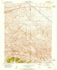
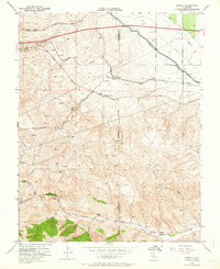
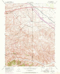
Editions of this 1953 Midway Map
6 editions found
Other maps of this area

1907 · Tesla
USGS Topo · 1:62,500

1911 · Byron Hot Springs
USGS Topo · 1:31,680

1914 · Bethany
USGS Topo · 1:31,680

1914 · Union Island
USGS Topo · 1:31,680

1916 · Byron Hot Springs
USGS Topo · 1:31,680

1916 · Byron
USGS Topo · 1:62,500

1916 · Tracy
USGS Topo · 1:31,680

1916 · Midway
USGS Topo · 1:31,680

1922 · Carbona
USGS Topo · 1:62,500

1940 · Byron
USGS Topo · 1:62,500