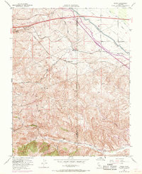
1953 Map of Midway
USGS Topo · Published 1969About this map
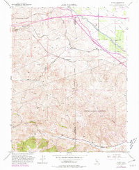
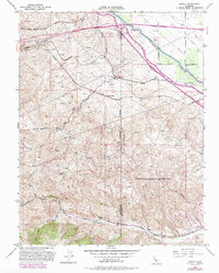
Altamont Pass serves as the dominant geographical gateway between the Livermore Valley and the San Joaquin Valley, where the Western Pacific and Southern Pacific railroads navigate the complex terrain. The landscape is defined by its industrial and hydraulic infrastructure, featuring the convergence of the California Aqueduct and the Delta-Mendota Canal. This 1953 survey, updated with 1968 photorevisions, provides critical documentation of the region's historical industrial sites in Corral Hollow. Researchers can identify the footprints of former operations at Tesla (Site), Pottery (Site), and Carnegie (Site), marking where coal mining and brick manufacturing once thrived. Smaller transit points like Mountain House, Cayley, and Midway highlight the settlement patterns that evolved around these vital rail and water corridors.
Find a feature on this map
35 named features on this map. Tap any name to fly to it.
Don’t see what you’re looking for? This feature index may not catch every label — zoom into the map to look around manually.
Map Details
Editions of this 1953 Midway Map
6 editions found
Other maps of this area

1907 · Tesla
USGS Topo · 1:62,500

1911 · Byron Hot Springs
USGS Topo · 1:31,680

1914 · Bethany
USGS Topo · 1:31,680

1914 · Union Island
USGS Topo · 1:31,680

1916 · Byron Hot Springs
USGS Topo · 1:31,680

1916 · Byron
USGS Topo · 1:62,500

1916 · Tracy
USGS Topo · 1:31,680

1916 · Midway
USGS Topo · 1:31,680

1922 · Carbona
USGS Topo · 1:62,500

1940 · Byron
USGS Topo · 1:62,500