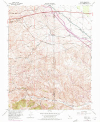
1953 Map of Midway
USGS Topo · Published 1975About this map
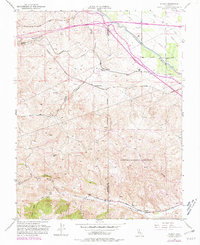
The boundary between Alameda and San Joaquin Counties cuts through this landscape of deep ravines and critical water infrastructure during a period of significant regional expansion. The map documents the sites of once-vibrant industrial settlements, including the Tesla, Pottery, and Carnegie locations along Corral Hollow Road, where coal and clay were once extracted. These historic nodes contrast with the massive civil engineering projects that came to define the area's modern role, specifically the Delta-Mendota Canal and the later addition of the California Aqueduct. Transportation remains a dominant theme, from the established tracks of the Southern Pacific and Western Pacific railroads to the modern development of the Altamont Speedway and the early stages of major road construction at Altamont Pass.
Find a feature on this map
38 named features on this map. Tap any name to fly to it.
Don’t see what you’re looking for? This feature index may not catch every label — zoom into the map to look around manually.
Map Details
Editions of this 1953 Midway Map
6 editions found
Other maps of this area

1907 · Tesla
USGS Topo · 1:62,500

1911 · Byron Hot Springs
USGS Topo · 1:31,680

1914 · Bethany
USGS Topo · 1:31,680

1914 · Union Island
USGS Topo · 1:31,680

1916 · Byron Hot Springs
USGS Topo · 1:31,680

1916 · Byron
USGS Topo · 1:62,500

1916 · Tracy
USGS Topo · 1:31,680

1916 · Midway
USGS Topo · 1:31,680

1922 · Carbona
USGS Topo · 1:62,500

1940 · Byron
USGS Topo · 1:62,500