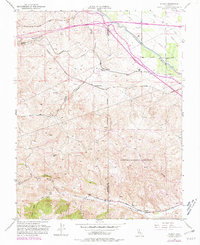
1953 Map of Midway
USGS Topo · Published 1981About this map
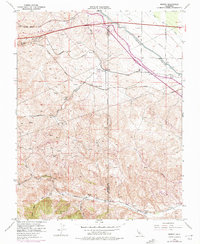
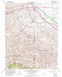
Midway stands as the central settlement in this landscape defined by the intersection of major California infrastructure and industrial history. The map documents a critical transition in water management, showing the California Aqueduct and Delta-Mendota Canal carving through the terrain alongside the Western Pacific and Southern Pacific railroads. Toward the southern end of the sheet, the presence of the Lawrence Radiation Laboratory indicates the region's mid-century shift toward high-technology research and development.
Find a feature on this map
29 named features on this map. Tap any name to fly to it.
Don’t see what you’re looking for? This feature index may not catch every label — zoom into the map to look around manually.
Map Details
Editions of this 1953 Midway Map
6 editions found
Other maps of this area

1907 · Tesla
USGS Topo · 1:62,500

1911 · Byron Hot Springs
USGS Topo · 1:31,680

1914 · Bethany
USGS Topo · 1:31,680

1914 · Union Island
USGS Topo · 1:31,680

1916 · Byron Hot Springs
USGS Topo · 1:31,680

1916 · Byron
USGS Topo · 1:62,500

1916 · Tracy
USGS Topo · 1:31,680

1916 · Midway
USGS Topo · 1:31,680

1922 · Carbona
USGS Topo · 1:62,500

1940 · Byron
USGS Topo · 1:62,500