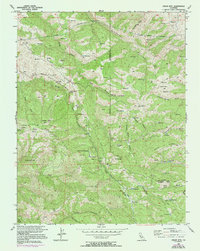
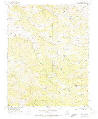
1956 Map of Cedar Mtn
USGS Topo · Published 1994About this map
Arroyo Mocho carves a deep path through this section of the Diablo Range, where industrial utility meets isolated ranch land during the mid-1950s. The presence of the Hetch Hetchy Aqueduct and the Mitchell Shaft highlights the critical infrastructure built to move water across the state. This landscape is defined by its dramatic ridges, including Cedar Mountain Ridge and Eylar Mountain Ridge, which hem in a network of canyons and gulches.
Find a feature on this map
48 named features on this map. Tap any name to fly to it.
Don’t see what you’re looking for? This feature index may not catch every label — zoom into the map to look around manually.
Map Details
Editions of this 1956 Cedar Mtn Map
6 editions found
Other maps of this area

1897 · Mt. Hamilton
USGS Topo · 1:62,500

1907 · Tesla
USGS Topo · 1:62,500

1916 · Tracy
USGS Topo · 1:31,680

1916 · Midway
USGS Topo · 1:31,680

1922 · Carbona
USGS Topo · 1:62,500

1938 · Mt. Boardman
USGS Topo · 1:62,500

1942 · Mt. Hamilton
USGS Topo · 1:62,500
1942 · Carbona
USGS Topo · 1:62,500

1942 · Mt. Boardman
USGS Topo · 1:62,500

1942 · Altamont
USGS Topo · 1:62,500