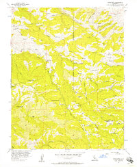
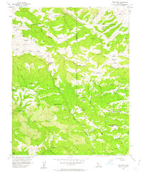
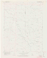
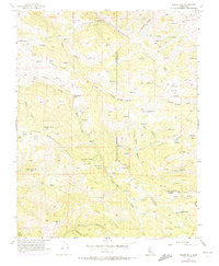
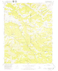
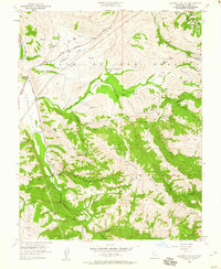
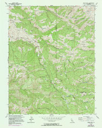
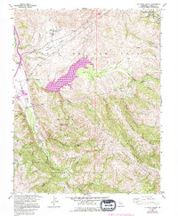
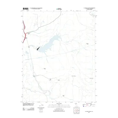
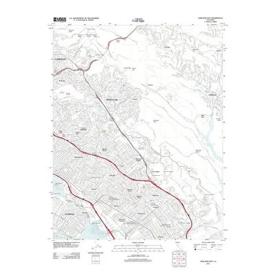
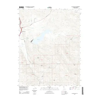
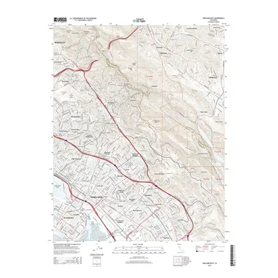
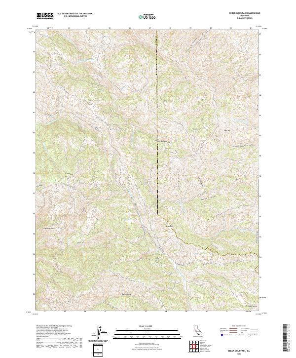
1956 Map of Cedar Mtn
USGS Topo · Published 1957About this map
Arroyo Mocho flows through a series of steep canyons and ridges along the Alameda and San Joaquin county border in this mid-century survey. The landscape is defined by the massive infrastructure of the Hetch Hetchy Aqueduct, which cuts through the northern hills near the Mitchell Shaft. Settlement is sparse, represented by isolated landmarks like Fourteenmile House and the Rancho Los Mochos, alongside the Buckeye Club further south. High peaks such as Cedar Mtn, Mt Wallace, and Sugarloaf Butte provide prominent triangulation points for the survey. This era shows the land as a working ranching and mining environment, with several Mines and Prospects dotting the terrain of Crane Ridge and Man Ridge. Numerous reservoirs and springs, including Sweet Springs, suggest a reliance on managed water sources in this dry upland territory.
Find a feature on this map
43 named features on this map. Tap any name to fly to it.
Don’t see what you’re looking for? This feature index may not catch every label — zoom into the map to look around manually.
Map Details
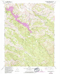
Editions of this 1956 Cedar Mtn Map
6 editions found
Historical Maps of Alameda County Through Time
55 maps found
1899 Haywards
Alameda County, CA
1907 Tesla
Alameda County, CA

1916 Midway
Alameda County, CA

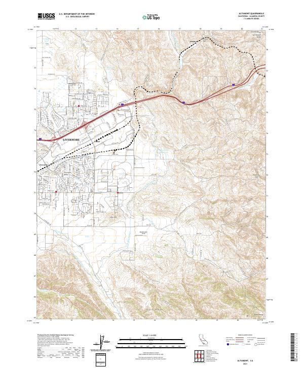
1942 Altamont
Alameda County, CA

1943 Tesla
Alameda County, CA
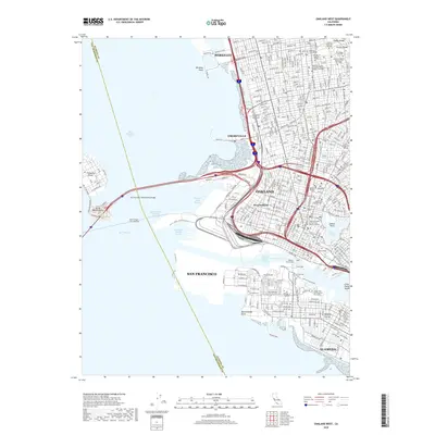
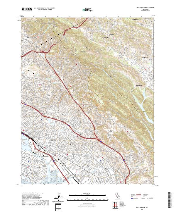
1947 Oakland East
Alameda County, CA

1949 Oakland East
Alameda County, CA
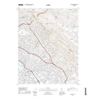
1949 Oakland West
Alameda County, CA
1953 Altamont
Alameda County, CA
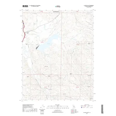
1953 La Costa Valley
Alameda County, CA
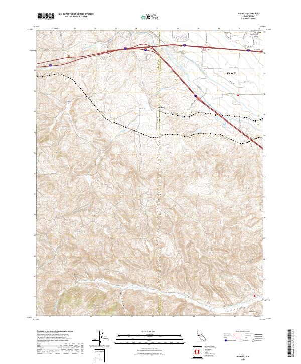
1953 Midway
Alameda County, CA

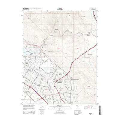
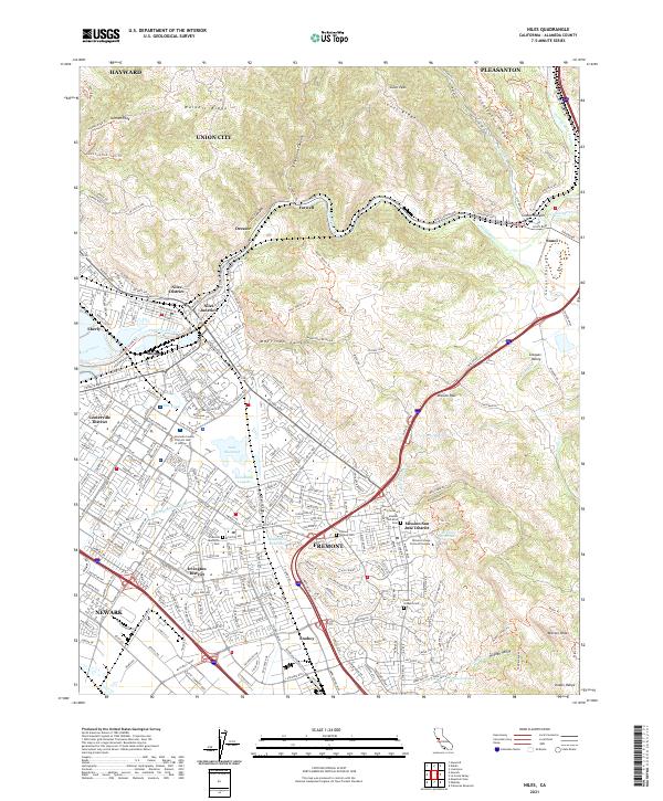
1953 Niles
Alameda County, CA
1956 Cedar Mtn
Alameda County, CA
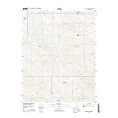
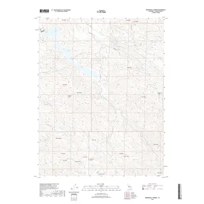
1956 Mendenhall Springs
Alameda County, CA
1959 Oakland East
Alameda County, CA
1959 Oakland West
Alameda County, CA
1960 La Costa Valley
Alameda County, CA
1961 Niles
Alameda County, CA

1968 La Costa Valley
Alameda County, CA

1993 Oakland West
Alameda County, CA

1996 La Costa Valley
Alameda County, CA

1996 Mendenhall Springs
Alameda County, CA

1997 Oakland East
Alameda County, CA
2012 Altamont
Alameda County, CA
2012 Cedar Mountain
Alameda County, CA
2012 La Costa Valley
Alameda County, CA
2012 Mendenhall Springs
Alameda County, CA
2012 Midway
Alameda County, CA
2012 Niles
Alameda County, CA
2012 Oakland East
Alameda County, CA
2012 Oakland West
Alameda County, CA
2015 Altamont
Alameda County, CA
2015 Cedar Mountain
Alameda County, CA
2015 La Costa Valley
Alameda County, CA
2015 Mendenhall Springs
Alameda County, CA
2015 Midway
Alameda County, CA
2015 Niles
Alameda County, CA
2015 Oakland East
Alameda County, CA
2015 Oakland West
Alameda County, CA
2018 Altamont
Alameda County, CA
2018 Cedar Mountain
Alameda County, CA
2018 La Costa Valley
Alameda County, CA
2018 Mendenhall Springs
Alameda County, CA
2018 Midway
Alameda County, CA
2018 Niles
Alameda County, CA
2018 Oakland East
Alameda County, CA
2018 Oakland West
Alameda County, CA
2021 Altamont
Alameda County, CA
2021 Cedar Mountain
Alameda County, CA

2021 La Costa Valley
Alameda County, CA

2021 Mendenhall Springs
Alameda County, CA
2021 Midway
Alameda County, CA
2021 Niles
Alameda County, CA
2021 Oakland East
Alameda County, CA

2021 Oakland West
Alameda County, CA