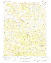
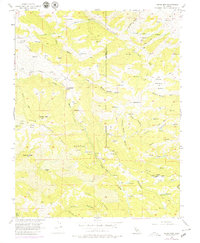
1956 Map of Cedar Mtn
USGS Topo · Published 1972About this map
Crane Ridge and Man Ridge define the steep landscape of the Diablo Range along the border of Alameda and San Joaquin counties. This mid-century survey captures a transition in water infrastructure, most notably the Hetch Hetchy Aqueduquct as it cuts across the northern terrain near the Mitchell Shaft. The presence of Fourteenmile House and the Buckeye Club suggests a landscape used for both travel stopovers and private recreation, while the Rancho Los Mochos reflects the area's continued ranching heritage.
Find a feature on this map
32 named features on this map. Tap any name to fly to it.
Don’t see what you’re looking for? This feature index may not catch every label — zoom into the map to look around manually.
Map Details
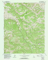
Editions of this 1956 Cedar Mtn Map
6 editions found
Other maps of this area

1897 · Mt. Hamilton
USGS Topo · 1:62,500

1907 · Tesla
USGS Topo · 1:62,500

1916 · Tracy
USGS Topo · 1:31,680

1916 · Midway
USGS Topo · 1:31,680

1922 · Carbona
USGS Topo · 1:62,500

1938 · Mt. Boardman
USGS Topo · 1:62,500

1942 · Mt. Hamilton
USGS Topo · 1:62,500
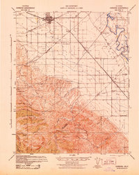
1942 · Carbona
USGS Topo · 1:62,500

1942 · Mt. Boardman
USGS Topo · 1:62,500

1942 · Altamont
USGS Topo · 1:62,500