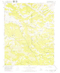
1956 Map of Cedar Mtn
USGS Topo · Published 1979About this map
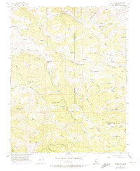
The Hetch Hetchy Aqueduct cuts through the northern reaches of this territory, where the infrastructure of water transport meets the industrial history of the Mitchell Shaft. The landscape is defined by the heavy ridgelines of Crane Ridge and Mitchell Ravine, populated by isolated landmarks like the Fourteenmile House and the Buckeye Club. For genealogists and local historians, the map preserves the location of Rancho Los Mochos and numerous Mines and Prospects scattered across the upland slopes. The drainage patterns of Arroyo Mocho and Arroyo Valle provide a natural framework for understanding early land use in this part of Alameda and San Joaquin counties. Survey markers and lookout points, such as the Crane Ridge Lookout and Mt Wallace, highlight the high-elevation vantage points used to manage this territory during the mid-20th century.
Find a feature on this map
57 named features on this map. Tap any name to fly to it.
Don’t see what you’re looking for? This feature index may not catch every label — zoom into the map to look around manually.
Map Details
Editions of this 1956 Cedar Mtn Map
6 editions found
Other maps of this area

1897 · Mt. Hamilton
USGS Topo · 1:62,500

1907 · Tesla
USGS Topo · 1:62,500

1916 · Tracy
USGS Topo · 1:31,680

1916 · Midway
USGS Topo · 1:31,680

1922 · Carbona
USGS Topo · 1:62,500

1938 · Mt. Boardman
USGS Topo · 1:62,500

1942 · Mt. Hamilton
USGS Topo · 1:62,500
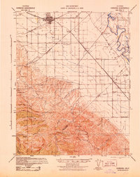
1942 · Carbona
USGS Topo · 1:62,500

1942 · Mt. Boardman
USGS Topo · 1:62,500

1942 · Altamont
USGS Topo · 1:62,500