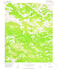
1956 Map of Cedar Mtn
USGS Topo · Published 1963About this map
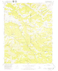
The Hetch Hetchy Aqueduct and its accompanying Mitchell Shaft cut across the northern ridges of this landscape, marking a significant piece of California water infrastructure in the mid-1950s. The topography is defined by the steep drainage basins of Arroyo Mocho and Arroyo Valle, where the Arroyo Mocho Road follows the creek bed past local landmarks like Fourteenmile House and Rancho Los Mochos. High points such as Mt Wallace, Cedar Mtn, and Sugarloaf Butte overlook a series of deep canyons and ridges, including Crane Ridge and Man Ridge. Evidence of resource extraction and local gathering spots appear in the form of scattered Mines, a Prospect, and the Buckeye Club, while numerous reservoirs and springs like Sweet Springs dot the valleys and gulches.
Find a feature on this map
38 named features on this map. Tap any name to fly to it.
Don’t see what you’re looking for? This feature index may not catch every label — zoom into the map to look around manually.
Map Details
Editions of this 1956 Cedar Mtn Map
6 editions found
Other maps of this area

1897 · Mt. Hamilton
USGS Topo · 1:62,500

1907 · Tesla
USGS Topo · 1:62,500

1916 · Tracy
USGS Topo · 1:31,680

1916 · Midway
USGS Topo · 1:31,680

1922 · Carbona
USGS Topo · 1:62,500

1938 · Mt. Boardman
USGS Topo · 1:62,500

1942 · Mt. Hamilton
USGS Topo · 1:62,500
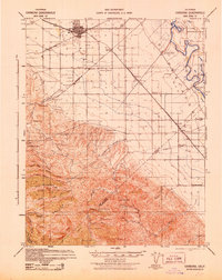
1942 · Carbona
USGS Topo · 1:62,500

1942 · Mt. Boardman
USGS Topo · 1:62,500

1942 · Altamont
USGS Topo · 1:62,500