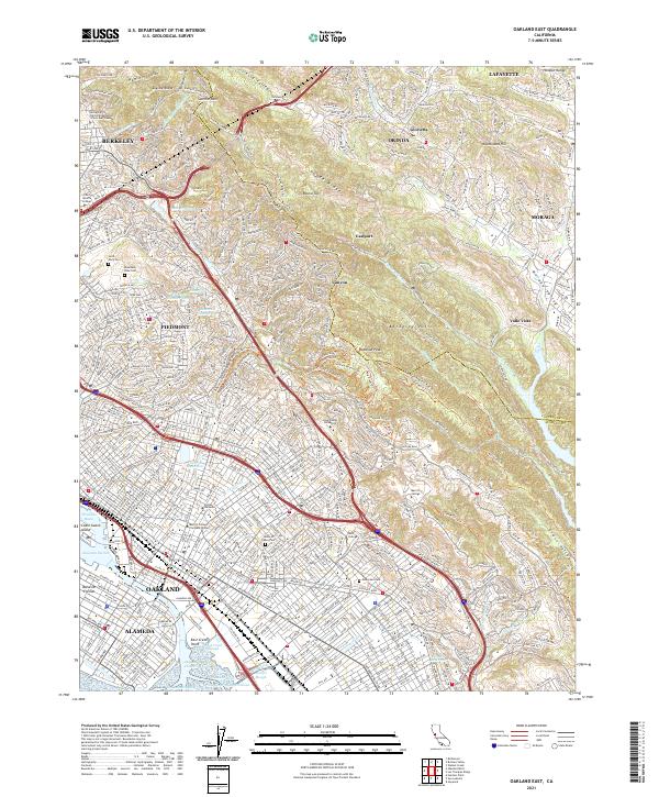
2021 Map of Oakland East
USGS Topo · Published 2021About this map
The Berkeley Hills and the urban corridors of Oakland define the character of this 2021 landscape, where the Contra Costa Co Alameda Co line cuts through the high ground of Redwood Peak. This recent survey illustrates the dense residential and educational fabric of the East Bay, anchored by institutions such as Mills College, Holy Names University, and the University of California Berkeley - Clark Kerr Campus.
Find a feature on this map
183 named features on this map. Tap any name to fly to it.
Don’t see what you’re looking for? This feature index may not catch every label — zoom into the map to look around manually.
Map Details
Editions of this 2021 Oakland East Map
This is the sole edition of this map. No revisions or reprints were ever made.
Other maps of this area

1892 · San Mateo
USGS Topo · 1:62,500

1895 · San Francisco
USGS Topo · 1:62,500

1896 · San Mateo
USGS Topo · 1:62,500

1897 · Concord
USGS Topo · 1:62,500

1899 · San Francisco
USGS Topo · 1:62,500

1899 · Haywards
USGS Topo · 1:62,500

1899 · San Mateo
USGS Topo · 1:62,500

1915 · San Mateo
USGS Topo · 1:62,500

1915 · Haywards
USGS Topo · 1:62,500

1915 · Concord
USGS Topo · 1:62,500