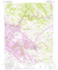
1961 Map of Niles
USGS Topo · Published 1980About this map
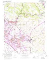
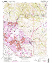
The Irvington District and Mission San Jose District serve as anchors in this detailed 1961 record of the East Bay, documenting a period of rapid suburban transition in Fremont. The landscape is a complex intersection of early California history and modern infrastructure, where the Ohlone Cemetery and St Josephs Ch stand near newer developments like Ohlone College and the Fremont Raceway. Major utility corridors, including the Hetch Hetchy Aqueduct and the Southern Pacific and Western Pacific railroads, cut through the foothills of Mission Ridge. To the east, the Sunol Valley remains relatively open, marked by the distinctive Water Temple and the winding course of Alameda Creek through Niles Canyon. The map captures the city just as the Nimitz Freeway and expanding urban boundaries began to reshape the old agricultural districts of Shinn and Eberly.
Find a feature on this map
56 named features on this map. Tap any name to fly to it.
Don’t see what you’re looking for? This feature index may not catch every label — zoom into the map to look around manually.
Map Details
Editions of this 1961 Niles Map
6 editions found
Other maps of this area

1889 · San Jose
USGS Topo · 1:62,500

1897 · San Jose
USGS Topo · 1:62,500

1897 · Palo Alto
USGS Topo · 1:62,500

1899 · San Jose
USGS Topo · 1:62,500

1899 · Palo Alto
USGS Topo · 1:62,500

1899 · Haywards
USGS Topo · 1:62,500

1902 · Santa Cruz
USGS Topo · 1:125,000

1906 · Pleasanton
USGS Topo · 1:62,500

1915 · Haywards
USGS Topo · 1:62,500

1941 · Pleasanton
USGS Topo · 1:62,500