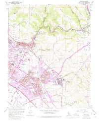
1961 Map of Niles
USGS Topo · Published 1975About this map
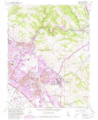
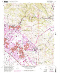
Mission San Jose de Guadalupe and its surrounding district anchor the southeastern hills of this Alameda County landscape, showcasing a transition from rural mission lands to expanding suburban centers. The map documents the consolidation of several historic communities into what became Fremont, including the Niles District, Centerville District, and Irvington District. The complex infrastructure of the era is evident in the path of the Hetch Hetchy Aqueduct and the convergence of the Southern Pacific and Western Pacific railroads at Niles Junction. Local heritage is preserved through markers like the Ohlones Cemetery and the Mission San Jose (Ruins), while the Sunol Valley features the distinctive Water Temple near where Sinbad Creek meets Alameda Creek. Purple revisions from the early 1970s illustrate the rapid growth of housing and schools, such as Mission Valley Sch and Irvington High Sch, as they began to fill the valleys below Mission Peak.
Find a feature on this map
73 named features on this map. Tap any name to fly to it.
Don’t see what you’re looking for? This feature index may not catch every label — zoom into the map to look around manually.
Map Details
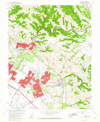
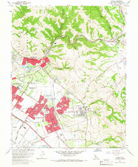
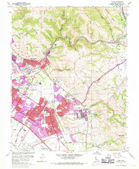
Editions of this 1961 Niles Map
6 editions found
Other maps of this area

1889 · San Jose
USGS Topo · 1:62,500

1897 · San Jose
USGS Topo · 1:62,500

1897 · Palo Alto
USGS Topo · 1:62,500

1899 · San Jose
USGS Topo · 1:62,500

1899 · Palo Alto
USGS Topo · 1:62,500

1899 · Haywards
USGS Topo · 1:62,500

1902 · Santa Cruz
USGS Topo · 1:125,000

1906 · Pleasanton
USGS Topo · 1:62,500

1915 · Haywards
USGS Topo · 1:62,500

1941 · Pleasanton
USGS Topo · 1:62,500