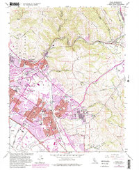
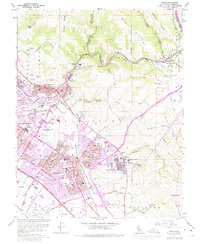
1961 Map of Niles
USGS Topo · Published 1980About this map
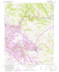
The Fremont area undergoes significant suburban expansion in this era, as seen in the purple-tinted urban extensions across the Irvington District and Centerville District. This transition from an agricultural past is evident in the dense clusters of schools like Washington Union High Sch and Irvington High Sch rising among older landmarks. The historic Mission San Jose District sits at the base of Sunol Ridge, where the landscape transitions sharply from the developed valley floor to the steep elevations of Mission Peak.
Find a feature on this map
118 named features on this map. Tap any name to fly to it.
Don’t see what you’re looking for? This feature index may not catch every label — zoom into the map to look around manually.
Map Details
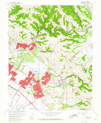
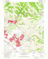
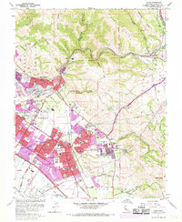
Editions of this 1961 Niles Map
6 editions found
Other maps of this area

1889 · San Jose
USGS Topo · 1:62,500

1897 · San Jose
USGS Topo · 1:62,500

1897 · Palo Alto
USGS Topo · 1:62,500

1899 · San Jose
USGS Topo · 1:62,500

1899 · Palo Alto
USGS Topo · 1:62,500

1899 · Haywards
USGS Topo · 1:62,500

1902 · Santa Cruz
USGS Topo · 1:125,000

1906 · Pleasanton
USGS Topo · 1:62,500

1915 · Haywards
USGS Topo · 1:62,500

1941 · Pleasanton
USGS Topo · 1:62,500