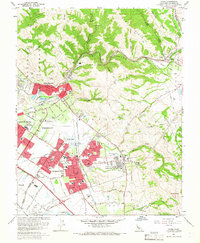
1961 Map of Niles
USGS Topo · Published 1966About this map
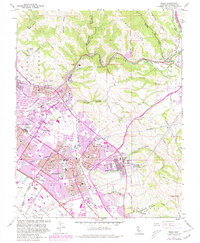
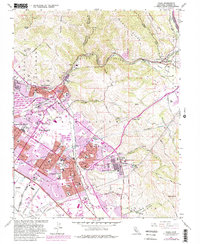
Fremont is depicted here during a period of rapid post-war expansion, showing the consolidation of historic communities like the Irvington District, Centerville District, and Niles District. The landscape preserves deep historical layers, from the Mission San Jose District and Ohlones Cemetery to the industrial Vallejo Mill Ruins near Niles Junction. This era captures the transition from an agricultural and ranching valley to a suburbanized hub, marked by the new Nimitz Freeway cutting through the western flats.
Find a feature on this map
67 named features on this map. Tap any name to fly to it.
Don’t see what you’re looking for? This feature index may not catch every label — zoom into the map to look around manually.
Map Details
Editions of this 1961 Niles Map
6 editions found
Other maps of this area

1889 · San Jose
USGS Topo · 1:62,500

1897 · San Jose
USGS Topo · 1:62,500

1897 · Palo Alto
USGS Topo · 1:62,500

1899 · San Jose
USGS Topo · 1:62,500

1899 · Palo Alto
USGS Topo · 1:62,500

1899 · Haywards
USGS Topo · 1:62,500

1902 · Santa Cruz
USGS Topo · 1:125,000

1906 · Pleasanton
USGS Topo · 1:62,500

1915 · Haywards
USGS Topo · 1:62,500

1941 · Pleasanton
USGS Topo · 1:62,500