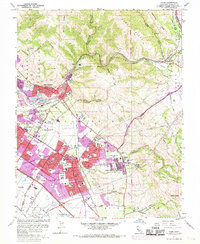
1961 Map of Niles
USGS Topo · Published 1968About this map
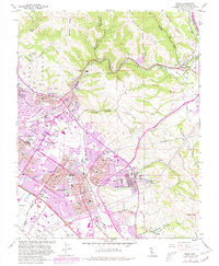
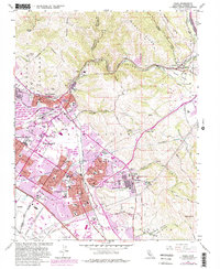
Alameda Creek carves a deep path through Niles Canyon, serving as a vital corridor for the Southern Pacific and Western Pacific railroads during this period of mid-century suburban expansion. The map documents the early consolidation of Fremont, showing the distinct identities of the Niles, Irvington, Centerville, and Mission San Jose districts before they fully merged into a continuous urban landscape. Significant cultural landmarks include the Mission San Jose de Guadalupe and the nearby Ohlones Cemetery, reflecting the area's deep Spanish colonial and indigenous roots. To the south, the emergence of modern infrastructure like the Nimitz Freeway and Fremont Raceway contrasts with the established agricultural and industrial features, such as the numerous Gravel Pits and the quiet Sunol Valley.
Find a feature on this map
77 named features on this map. Tap any name to fly to it.
Don’t see what you’re looking for? This feature index may not catch every label — zoom into the map to look around manually.
Map Details
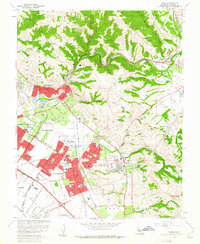
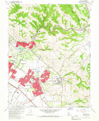
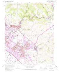
Editions of this 1961 Niles Map
6 editions found
Other maps of this area

1889 · San Jose
USGS Topo · 1:62,500

1897 · San Jose
USGS Topo · 1:62,500

1897 · Palo Alto
USGS Topo · 1:62,500

1899 · San Jose
USGS Topo · 1:62,500

1899 · Palo Alto
USGS Topo · 1:62,500

1899 · Haywards
USGS Topo · 1:62,500

1902 · Santa Cruz
USGS Topo · 1:125,000

1906 · Pleasanton
USGS Topo · 1:62,500

1915 · Haywards
USGS Topo · 1:62,500

1941 · Pleasanton
USGS Topo · 1:62,500