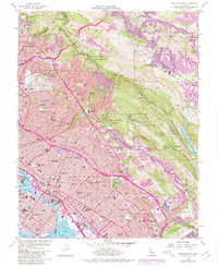
1959 Map of Oakland East
USGS Topo · Published 1980About this map
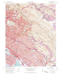
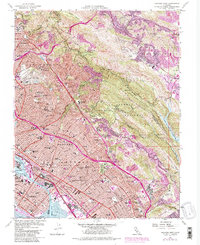
The hills of Berkeley, Piedmont, and Oakland descend toward San Leandro Bay in this mid-century portrait of the East Bay. The landscape is defined by the sharp transition from the dense urban grid of the San Antonio district to the protected heights of Round Top Regional Park and Joaquin Miller Park. The 1959 data, with later 1980 revisions, reveals the corridor of the Warren Freeway and MacArthur Freeway cutting through the established neighborhoods. In the north, the Univ of California and the Calif School for Blind and Deaf stand as major institutional anchors. The eastern slopes show the more suburban character of Orinda and Moraga, centered around the Upper San Leandro Reservoir. Notable for genealogists are the sprawling grounds of Mountain View Cemetery and Home of Peace Cemetery, while the maritime presence of the Naval Supply Center reflects the area's strategic importance.
Find a feature on this map
112 named features on this map. Tap any name to fly to it.
Don’t see what you’re looking for? This feature index may not catch every label — zoom into the map to look around manually.
Map Details
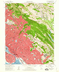
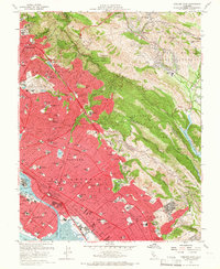
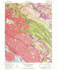
Editions of this 1959 Oakland East Map
6 editions found
Other maps of this area

1892 · San Mateo
USGS Topo · 1:62,500

1895 · San Francisco
USGS Topo · 1:62,500

1896 · San Mateo
USGS Topo · 1:62,500

1897 · Concord
USGS Topo · 1:62,500

1899 · San Francisco
USGS Topo · 1:62,500

1899 · Haywards
USGS Topo · 1:62,500

1899 · San Mateo
USGS Topo · 1:62,500

1915 · San Mateo
USGS Topo · 1:62,500

1915 · Haywards
USGS Topo · 1:62,500

1915 · Concord
USGS Topo · 1:62,500