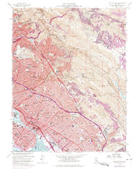
1959 Map of Oakland East
USGS Topo · Published 1975About this map
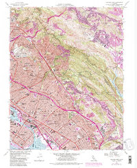
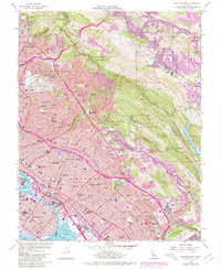
The University of California campus and the industrial waterfront of Alameda anchor this mid-century survey of the East Bay. The urban density of Oakland, Berkeley, and Piedmont is contrasted by the preserved open spaces of Redwood Regional Park and Joaquin Miller Park. Extensive cemetery complexes, including Mountain View Cemetery and St Marys Cem, occupy significant acreage between the residential neighborhoods and the ridge. Transportation corridors like the Nimitz Freeway and the Southern Pacific tracks line the Tidal Canal and San Leandro Bay, reflecting the era's maritime and rail-based economy near the Naval Reserve Shipyard. To the east, the map reveals the transition into the hills and valleys of Orinda and Moraga, characterized by reservoirs and country clubs.
Find a feature on this map
73 named features on this map. Tap any name to fly to it.
Don’t see what you’re looking for? This feature index may not catch every label — zoom into the map to look around manually.
Map Details
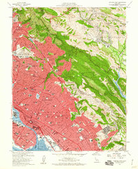
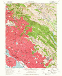
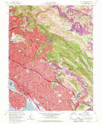
Editions of this 1959 Oakland East Map
6 editions found
Other maps of this area

1892 · San Mateo
USGS Topo · 1:62,500

1895 · San Francisco
USGS Topo · 1:62,500

1896 · San Mateo
USGS Topo · 1:62,500

1897 · Concord
USGS Topo · 1:62,500

1899 · San Francisco
USGS Topo · 1:62,500

1899 · Haywards
USGS Topo · 1:62,500

1899 · San Mateo
USGS Topo · 1:62,500

1915 · San Mateo
USGS Topo · 1:62,500

1915 · Haywards
USGS Topo · 1:62,500

1915 · Concord
USGS Topo · 1:62,500