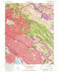
1959 Map of Oakland East
USGS Topo · Published 1969About this map
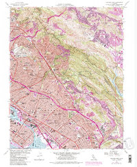
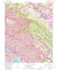
Oakland and Berkeley reveal a dense mid-century urban landscape climbing from the Tidal Canal into the East Bay hills during this period of expansion. The map documents massive infrastructure and institutional presence, from the industrial Naval Supply Center and dry docks at the waterfront to the specialized campuses of the Calif School for Blind and Deaf and College of St Albert. In the hills, the transition from urban grid to open space is marked by the sprawling Mountain View Cemetery and the protected lands of Joaquin Miller Park. The arrival of modern transportation is evident in the path of the MacArthur Freeway cutting through established neighborhoods, while the Southern Pacific tracks continue to serve the coastal corridor near Alameda. To the east, the terrain shifts abruptly toward the Moraga Valley and the Upper San Leandro Reservoir, showing the region's critical water management and suburban nodes like Orinda and Moraga.
Find a feature on this map
123 named features on this map. Tap any name to fly to it.
Don’t see what you’re looking for? This feature index may not catch every label — zoom into the map to look around manually.
Map Details
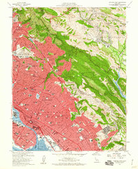
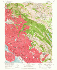
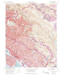
Editions of this 1959 Oakland East Map
6 editions found
Other maps of this area

1892 · San Mateo
USGS Topo · 1:62,500

1895 · San Francisco
USGS Topo · 1:62,500

1896 · San Mateo
USGS Topo · 1:62,500

1897 · Concord
USGS Topo · 1:62,500

1899 · San Francisco
USGS Topo · 1:62,500

1899 · Haywards
USGS Topo · 1:62,500

1899 · San Mateo
USGS Topo · 1:62,500

1915 · San Mateo
USGS Topo · 1:62,500

1915 · Haywards
USGS Topo · 1:62,500

1915 · Concord
USGS Topo · 1:62,500