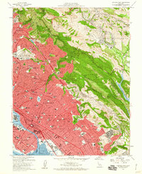
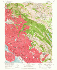
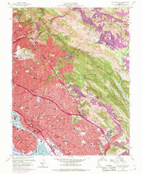
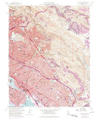
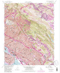
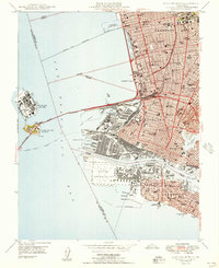
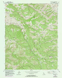
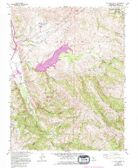
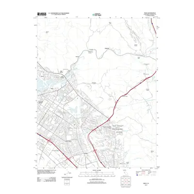
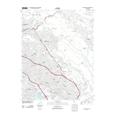
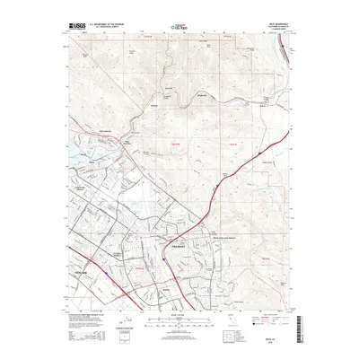
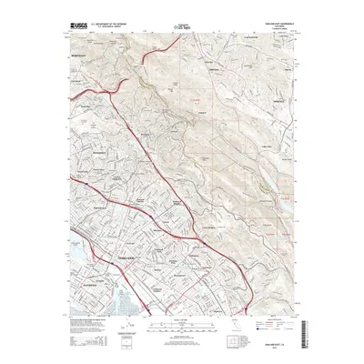
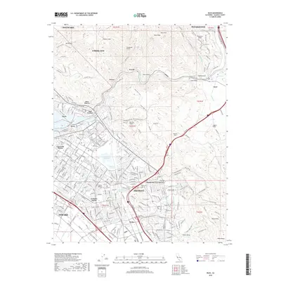
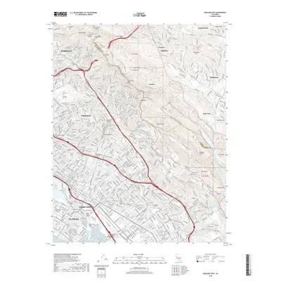
1959 Map of Oakland East
USGS Topo · Published 1960About this map
The urban footprint of the East Bay is seen here in a period of significant post-war expansion, with the densely developed corridors of Oakland, Berkeley, and Piedmont pushing against the ridge lines of the East Bay Hills. This 1959 survey captures the region's complex geography, from the Oakland Inner Harbor and Tidal Canal to the expansive parklands of Redwood Regional Park and Joaquin Miller Park. The map preserves the historic land divisions of the San Antonio (A M Peralta) and V and D Peralta grants, anchoring the modern grid to its Spanish rancho roots.
Find a feature on this map
111 named features on this map. Tap any name to fly to it.
Don’t see what you’re looking for? This feature index may not catch every label — zoom into the map to look around manually.
Map Details
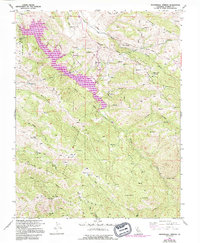
Editions of this 1959 Oakland East Map
6 editions found
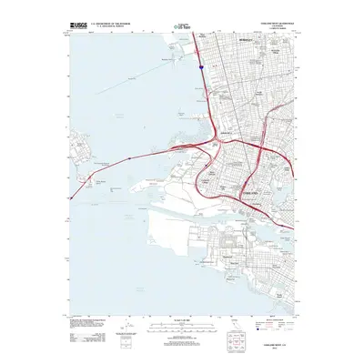
Historical Maps of Oakland Through Time
55 maps found
1899 Haywards
Alameda County, CA
1907 Tesla
Alameda County, CA

1916 Midway
Alameda County, CA

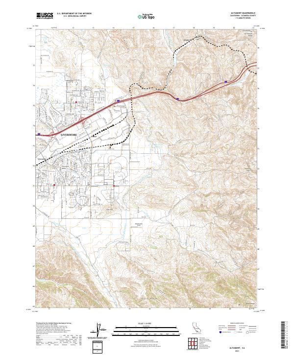
1942 Altamont
Alameda County, CA

1943 Tesla
Alameda County, CA
1947 Oakland East
Alameda County, CA

1949 Oakland East
Alameda County, CA
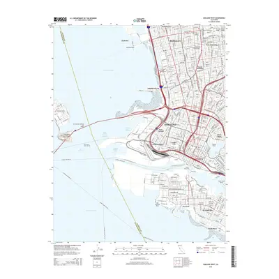
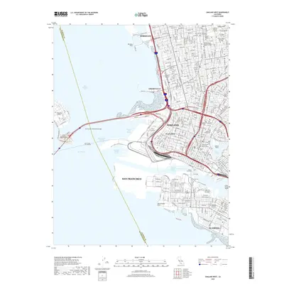
1949 Oakland West
Alameda County, CA
1953 Altamont
Alameda County, CA
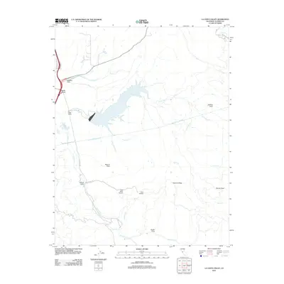
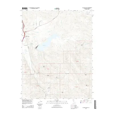
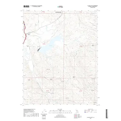
1953 La Costa Valley
Alameda County, CA
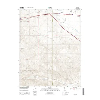
1953 Midway
Alameda County, CA

1953 Niles
Alameda County, CA
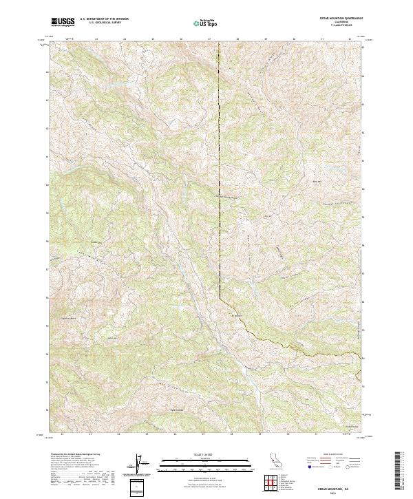
1956 Cedar Mtn
Alameda County, CA
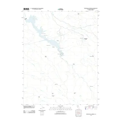
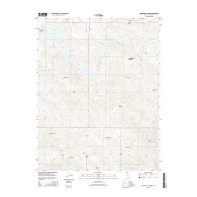
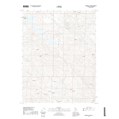
1956 Mendenhall Springs
Alameda County, CA
1959 Oakland East
Alameda County, CA
1959 Oakland West
Alameda County, CA
1960 La Costa Valley
Alameda County, CA
1961 Niles
Alameda County, CA

1968 La Costa Valley
Alameda County, CA

1993 Oakland West
Alameda County, CA

1996 La Costa Valley
Alameda County, CA

1996 Mendenhall Springs
Alameda County, CA

1997 Oakland East
Alameda County, CA
2012 Altamont
Alameda County, CA
2012 Cedar Mountain
Alameda County, CA
2012 La Costa Valley
Alameda County, CA
2012 Mendenhall Springs
Alameda County, CA
2012 Midway
Alameda County, CA
2012 Niles
Alameda County, CA
2012 Oakland East
Alameda County, CA
2012 Oakland West
Alameda County, CA
2015 Altamont
Alameda County, CA
2015 Cedar Mountain
Alameda County, CA
2015 La Costa Valley
Alameda County, CA
2015 Mendenhall Springs
Alameda County, CA
2015 Midway
Alameda County, CA
2015 Niles
Alameda County, CA
2015 Oakland East
Alameda County, CA
2015 Oakland West
Alameda County, CA
2018 Altamont
Alameda County, CA
2018 Cedar Mountain
Alameda County, CA
2018 La Costa Valley
Alameda County, CA
2018 Mendenhall Springs
Alameda County, CA
2018 Midway
Alameda County, CA
2018 Niles
Alameda County, CA
2018 Oakland East
Alameda County, CA
2018 Oakland West
Alameda County, CA
2021 Altamont
Alameda County, CA
2021 Cedar Mountain
Alameda County, CA

2021 La Costa Valley
Alameda County, CA

2021 Mendenhall Springs
Alameda County, CA
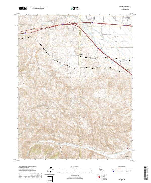
2021 Midway
Alameda County, CA
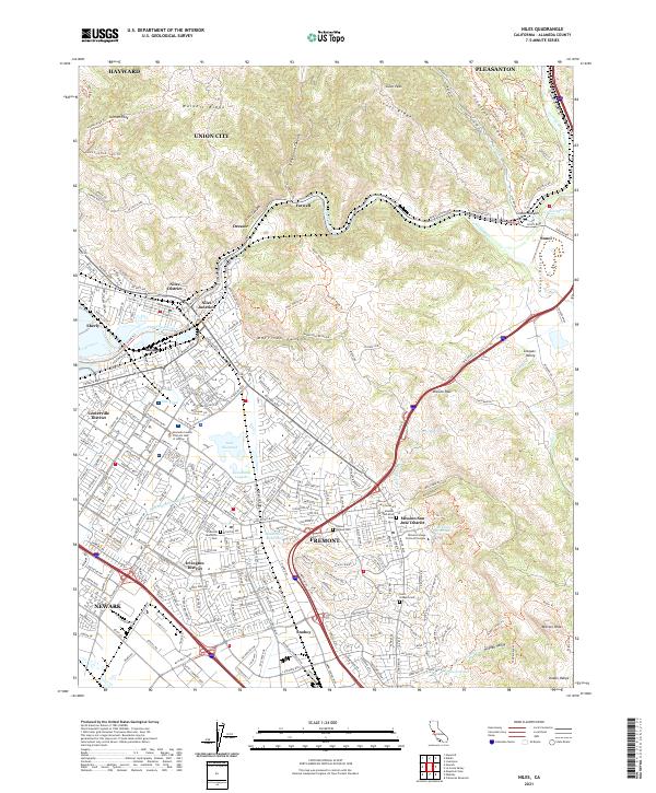
2021 Niles
Alameda County, CA
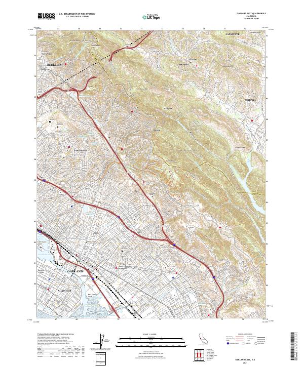
2021 Oakland East
Alameda County, CA

2021 Oakland West
Alameda County, CA