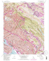
1959 Map of Oakland East
USGS Topo · Published 1980About this map
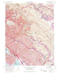
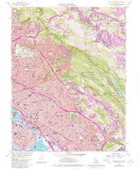
Oakland, Piedmont, and Berkeley dominate the western hills and tidal flats, showing the intensive post-war urban expansion of the East Bay. The map captures the complex social infrastructure of the mid-century, from the University of California campus and Mills College to specialized institutions like the Calif School for Blind and Deaf. While the lowlands are densely developed along the Southern Pacific railroad and the burgeoning Freeway network, the eastern ridges remain dominated by vast recreational and watershed lands. These include Redwood Regional Park and Chabot Regional Park, which preserve the steep terrain surrounding the Upper San Leandro Reservoir. Historical land grants like San Antonio (V and D Peralta) and Laguna de los Palos Colorados are still marked, providing a clear link between 19th-century ranchos and modern municipal boundaries.
Find a feature on this map
80 named features on this map. Tap any name to fly to it.
Don’t see what you’re looking for? This feature index may not catch every label — zoom into the map to look around manually.
Map Details
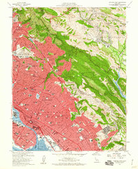
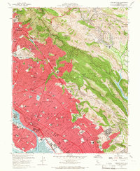
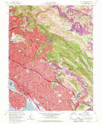
Editions of this 1959 Oakland East Map
6 editions found
Other maps of this area

1892 · San Mateo
USGS Topo · 1:62,500

1895 · San Francisco
USGS Topo · 1:62,500

1896 · San Mateo
USGS Topo · 1:62,500

1897 · Concord
USGS Topo · 1:62,500

1899 · San Francisco
USGS Topo · 1:62,500

1899 · Haywards
USGS Topo · 1:62,500

1899 · San Mateo
USGS Topo · 1:62,500

1915 · San Mateo
USGS Topo · 1:62,500

1915 · Haywards
USGS Topo · 1:62,500

1915 · Concord
USGS Topo · 1:62,500