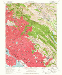
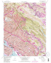
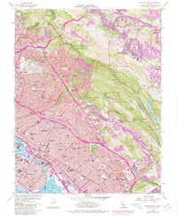
1959 Map of Oakland East
USGS Topo · Published 1966About this map
The Berkeley Hills provide a dramatic backdrop to the dense urban expansion of the East Bay during the late 1950s. This survey illustrates the intricate relationship between the developing residential corridors of Oakland and Berkeley and the protected ridgelines of Round Top Regional Park and Redwood Regional Park. Notable educational and institutional landmarks are prominent, including the sprawling grounds of the University of California, Mills College, and the Oak Knoll Naval Hospital. The map also captures the industrial and maritime character of the shoreline, featuring the Coast Guard Alameda Base and the complex rail network of the Southern Pacific and Western Southern Pacific. In the eastern valleys, the more suburban characters of Orinda and Moraga emerge, centered around features like the Upper San Leandro Reservoir and the Moraga Valley.
Find a feature on this map
131 named features on this map. Tap any name to fly to it.
Don’t see what you’re looking for? This feature index may not catch every label — zoom into the map to look around manually.
Map Details
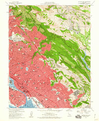
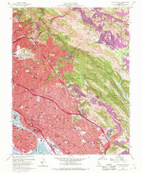
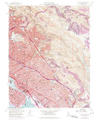
Editions of this 1959 Oakland East Map
6 editions found
Other maps of this area

1892 · San Mateo
USGS Topo · 1:62,500

1895 · San Francisco
USGS Topo · 1:62,500

1896 · San Mateo
USGS Topo · 1:62,500

1897 · Concord
USGS Topo · 1:62,500

1899 · San Francisco
USGS Topo · 1:62,500

1899 · Haywards
USGS Topo · 1:62,500

1899 · San Mateo
USGS Topo · 1:62,500

1915 · San Mateo
USGS Topo · 1:62,500

1915 · Haywards
USGS Topo · 1:62,500

1915 · Concord
USGS Topo · 1:62,500