
1907 Map of Tesla
USGS Topo · Published 1907About this map
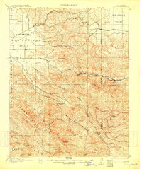
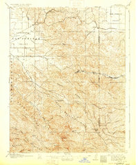
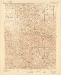
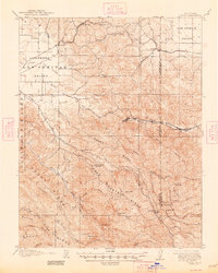
Tesla and the industrial outposts of Pottery and Carnegie define the rugged interior of the Diablo Range in this 1905 survey. The map records a landscape transitioning from the open grazing lands of the Livermore Valley and Las Positas Valley into the steep, deeply dissected ridges of the Crane Ridge and Cedar Mountain Ridge. Transportation is anchored by the Southern Pacific and the Niles and Sacramento Line, which skirt the northern hills through Altamont and Midway. Along the winding Corral Hollow, the concentration of industrial and residential labels like the Sweet Springs Halfway House and Buckeye Club suggests a bustling corridor of activity centered on the local coal and clay deposits, far removed from the larger valley settlements like Greenville and Ulmar. This document captures the intricate network of arroyos, including Arroyo Mocho and Arroyo del Valle, that dictated the early paths and property lines through these hills.
Find a feature on this map
56 named features on this map. Tap any name to fly to it.
Don’t see what you’re looking for? This feature index may not catch every label — zoom into the map to look around manually.
Map Details
Editions of this 1907 Tesla Map
5 editions found
Other maps of this area

1889 · San Jose
USGS Topo · 1:62,500

1896 · Mt. Diablo
USGS Topo · 1:62,500

1897 · San Jose
USGS Topo · 1:62,500

1897 · Mt. Hamilton
USGS Topo · 1:62,500

1898 · Mt. Diablo
USGS Topo · 1:62,500

1899 · San Jose
USGS Topo · 1:62,500

1906 · Pleasanton
USGS Topo · 1:62,500

1911 · Byron Hot Springs
USGS Topo · 1:31,680

1914 · Bethany
USGS Topo · 1:31,680

1914 · Union Island
USGS Topo · 1:31,680