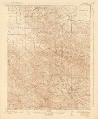
1907 Map of Tesla
USGS Topo · Published 1941About this map
Livermore Valley and the San Joaquin Valley converge at this point in the early twentieth century, connected by a network of early railroads and mountain passes. The landscape is defined by the steep rises of Crane Ridge and Cedar Mountain Ridge, where remote landmarks like Mendenhall Springs and Sweet Springs provided water in a dry, dissected upland. The presence of the Southern Pacific and Western Pacific rail lines through Altamont and Midway highlights the importance of this corridor for regional transit and shipping.
Find a feature on this map
56 named features on this map. Tap any name to fly to it.
Don’t see what you’re looking for? This feature index may not catch every label — zoom into the map to look around manually.
Map Details
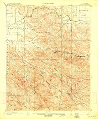
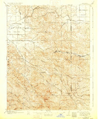
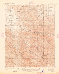
Editions of this 1907 Tesla Map
5 editions found
Other maps of this area

1889 · San Jose
USGS Topo · 1:62,500

1896 · Mt. Diablo
USGS Topo · 1:62,500

1897 · San Jose
USGS Topo · 1:62,500

1897 · Mt. Hamilton
USGS Topo · 1:62,500

1898 · Mt. Diablo
USGS Topo · 1:62,500

1899 · San Jose
USGS Topo · 1:62,500

1906 · Pleasanton
USGS Topo · 1:62,500

1907 · Tesla
USGS Topo · 1:62,500

1911 · Byron Hot Springs
USGS Topo · 1:31,680

1914 · Bethany
USGS Topo · 1:31,680