
1916 Map of Midway
USGS Topo · Published 1916About this map
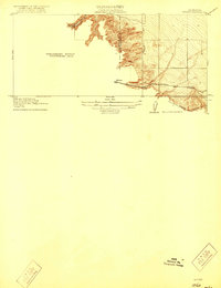
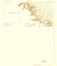
Midway stands as the central point of interest in this 1912 survey, situated at a vital juncture where the California landscape transitions along the Alameda Co San Joaquin Co border. The map documents the early 20th-century transportation corridor through the Altamont pass area, dominated by the parallel routes of the Southern Pacific and Western Pacific railroads. These rail lines follow the natural contours of the land, flanked by the seasonal drainages of Mountainhouse Cr and Patterson Run. The meticulous topography, surveyed by Duncan Hannegan, reveals the intricate drainage patterns and bench marks like BM 351 that defined this rural crossing before the massive infrastructure changes of later decades. This preliminary edition provides a focused look at the infrastructure that facilitated movement between the Central Valley and the Bay Area during the pre-war era.
Find a feature on this map
8 named features on this map. Tap any name to fly to it.
Don’t see what you’re looking for? This feature index may not catch every label — zoom into the map to look around manually.
Map Details
Editions of this 1916 Midway Map
3 editions found
Other maps of this area

1907 · Tesla
USGS Topo · 1:62,500

1911 · Byron Hot Springs
USGS Topo · 1:31,680

1914 · Bethany
USGS Topo · 1:31,680

1914 · Union Island
USGS Topo · 1:31,680

1916 · Byron Hot Springs
USGS Topo · 1:31,680

1916 · Byron
USGS Topo · 1:62,500

1916 · Tracy
USGS Topo · 1:31,680

1922 · Carbona
USGS Topo · 1:62,500

1940 · Byron
USGS Topo · 1:62,500
1942 · Carbona
USGS Topo · 1:62,500