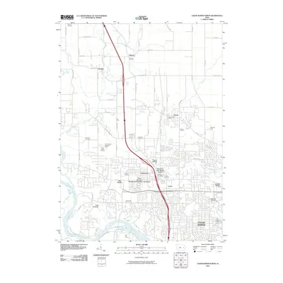
2010 Map of Cedar Rapids North
USGS Topo · Published 2010About this map
Cedar Rapids and its northern suburban corridor show significant residential expansion by 2010, particularly in areas like Hiawatha, Robins, and Toddville. The map illustrates a landscape of established communities and newer developments, such as the Five Seasons Manufactured Home Community and Sunset Village. This era represents a peak of integration between the industrial roots of the city and modern transit-oriented growth, with numerous residential streets branching off from established routes like C Ave Exn.
Find a feature on this map
73 named features on this map. Tap any name to fly to it.
Don’t see what you’re looking for? This feature index may not catch every label — zoom into the map to look around manually.
Map Details
Editions of this 2010 Cedar Rapids North Map
This is the sole edition of this map. No revisions or reprints were ever made.
Other maps of this area

1887 · Cedar Rapids
USGS Topo · 1:62,500

1888 · Shellsburg
USGS Topo · 1:62,500

1888 · Marion
USGS Topo · 1:62,500

1888 · Amana
USGS Topo · 1:62,500

1889 · Marion
USGS Topo · 1:62,500

1889 · Amana
USGS Topo · 1:62,500

1889 · Shellsburg
USGS Topo · 1:62,500

1891 · Cedar Rapids
USGS Topo · 1:62,500

1899 · Amana
USGS Topo · 1:62,500

1899 · Shellsburg
USGS Topo · 1:62,500