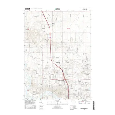
2015 Map of Cedar Rapids North
USGS Topo · Published 2015About this map
Cedar Rapids expansion northward into the rolling farmland of Linn County is the primary focus of this 2015 study. The suburban growth of Hiawatha, Marion, and Robins dominates the landscape, yet many early rural markers remain preserved. Genealogy researchers will find numerous established burial grounds, from the Dunkard Cem in the north near Midway to the Mount Calvary Cem and Cedar Park Memorial Cem in the city. The Cedar River and its tributaries, such as Otter Cr and Dry Cr, provide the natural framework for the area's development. Along the river, Robbins Lake sits near the historical point of Linn Junction, while the campus of Mt Mercy Univ marks the urban transition at the southern edge of the sheet. The map details the modern road network, including Blairs Ferry Rd and Co Home Rd, cutting through former agricultural sections.
Find a feature on this map
248 named features on this map. Tap any name to fly to it.
Don’t see what you’re looking for? This feature index may not catch every label — zoom into the map to look around manually.
Map Details
Editions of this 2015 Cedar Rapids North Map
This is the sole edition of this map. No revisions or reprints were ever made.
Other maps of this area

1887 · Cedar Rapids
USGS Topo · 1:62,500

1888 · Shellsburg
USGS Topo · 1:62,500

1888 · Marion
USGS Topo · 1:62,500

1888 · Amana
USGS Topo · 1:62,500

1889 · Marion
USGS Topo · 1:62,500

1889 · Amana
USGS Topo · 1:62,500

1889 · Shellsburg
USGS Topo · 1:62,500

1891 · Cedar Rapids
USGS Topo · 1:62,500

1899 · Amana
USGS Topo · 1:62,500

1899 · Shellsburg
USGS Topo · 1:62,500