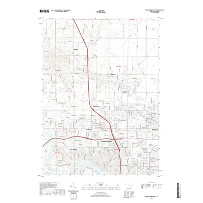
2018 Map of Cedar Rapids North
USGS Topo · Published 2018About this map
The Cedar River corridor and its surrounding communities are documented here in detail, showcasing the expansion of the northern metropolitan area. The city of Cedar Rapids anchors the southern portion of the map, while the northern edge remains largely rural around Midway and Toddville. A distinctive pattern of cemeteries, including Dunkard Cem, Buffalo Cem, and Robins Cem, provides significant value for genealogists tracing local families across the townships of t84n r7w and t85n r7w.
Find a feature on this map
263 named features on this map. Tap any name to fly to it.
Don’t see what you’re looking for? This feature index may not catch every label — zoom into the map to look around manually.
Map Details
Editions of this 2018 Cedar Rapids North Map
This is the sole edition of this map. No revisions or reprints were ever made.
Other maps of this area
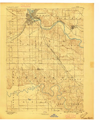
1887 · Cedar Rapids
USGS Topo · 1:62,500
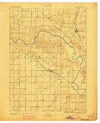
1888 · Shellsburg
USGS Topo · 1:62,500
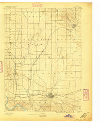
1888 · Marion
USGS Topo · 1:62,500
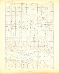
1888 · Amana
USGS Topo · 1:62,500
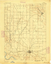
1889 · Marion
USGS Topo · 1:62,500
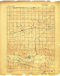
1889 · Amana
USGS Topo · 1:62,500
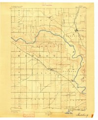
1889 · Shellsburg
USGS Topo · 1:62,500
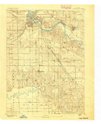
1891 · Cedar Rapids
USGS Topo · 1:62,500
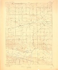
1899 · Amana
USGS Topo · 1:62,500
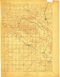
1899 · Shellsburg
USGS Topo · 1:62,500