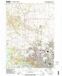
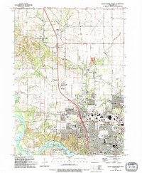
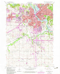
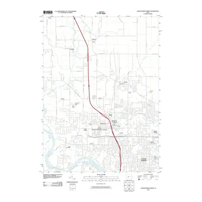
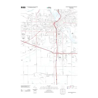
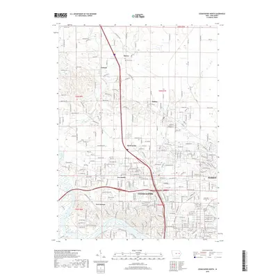
1994 Map of Cedar Rapids North
USGS Topo · Published 1994About this map
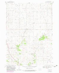
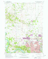
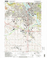
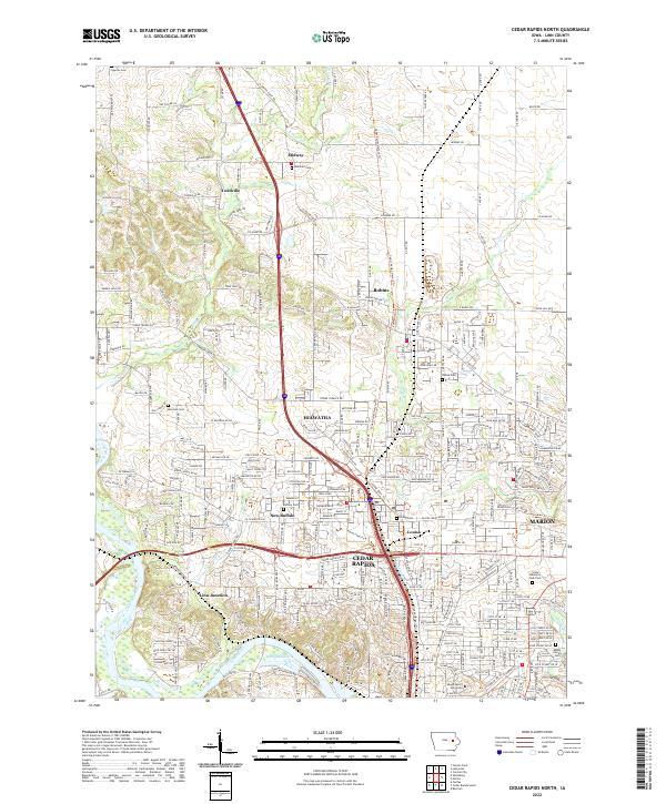
The Cedar River flows through the southern portion of this landscape, anchoring the northern expansion of Cedar Rapids as it reached toward the suburban edges of Hiawatha and Robins. By the mid-1990s, this area was a complex mix of established urban residential grids and emerging commercial corridors, notably around the Lindale Plaza Shopping Center. Farther north, the terrain transitions into a patchwork of rural farms and smaller settlements like Toddville and Midway, where the agricultural heritage is marked by several burial grounds including Dunkard Cem and Morrison Cem.
Find a feature on this map
87 named features on this map. Tap any name to fly to it.
Don’t see what you’re looking for? This feature index may not catch every label — zoom into the map to look around manually.
Map Details
Editions of this 1994 Cedar Rapids North Map
2 editions found
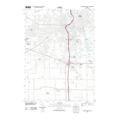
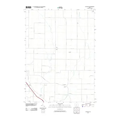
Historical Maps of Cedar Rapids Through Time
22 maps found
1965 Mt Vernon
Linn County, IA
1967 Cedar Rapids North
Linn County, IA
1967 Cedar Rapids South
Linn County, IA
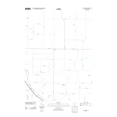
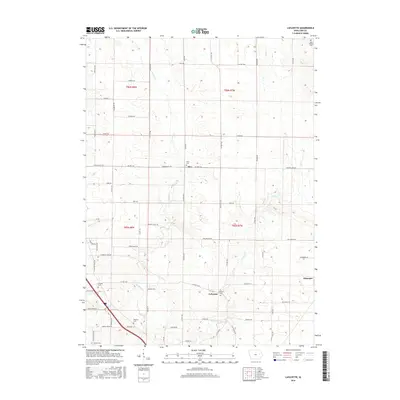
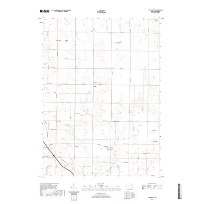
1968 Lafayette
Linn County, IA
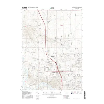
1975 Cedar Rapids North
Linn County, IA
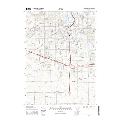
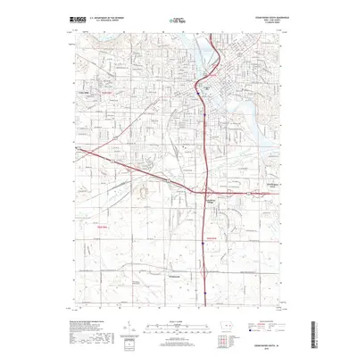
1994 Cedar Rapids North
Linn County, IA
1994 Cedar Rapids South
Linn County, IA
2010 Cedar Rapids North
Linn County, IA
2010 Cedar Rapids South
Linn County, IA
2010 Lafayette
Linn County, IA
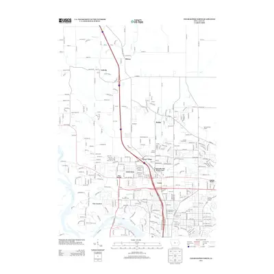
2013 Cedar Rapids North
Linn County, IA
2013 Cedar Rapids South
Linn County, IA
2013 Lafayette
Linn County, IA
2015 Cedar Rapids North
Linn County, IA
2015 Cedar Rapids South
Linn County, IA
2015 Lafayette
Linn County, IA
2018 Cedar Rapids North
Linn County, IA
2018 Cedar Rapids South
Linn County, IA
2018 Lafayette
Linn County, IA
2022 Cedar Rapids North
Linn County, IA
2022 Cedar Rapids South
Linn County, IA
2022 Lafayette
Linn County, IA