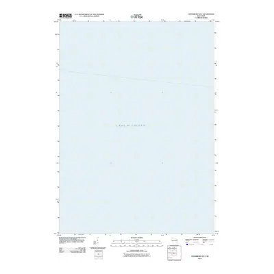
2010 Map of Cedarburg OE E
USGS Topo · Published 2010About this map
Lake Michigan dominates this offshore survey, which provides a detailed look at the maritime environment east of Wisconsin's shoreline. This particular quadrangle, produced in the modern era by the U.S. Geological Survey, focuses almost entirely on the open water. It represents a specialized mapping effort to complete the grid of the coastline, serving as a reference for hydrography and nautical navigation. While the sheet lacks land-based settlements, churches, or cemeteries, it defines the bathymetric and navigational space of the lake during the early 21st century.
Find a feature on this map
1 named feature on this map. Tap any name to fly to it.
Don’t see what you’re looking for? This feature index may not catch every label — zoom into the map to look around manually.
Map Details
Editions of this 2010 Cedarburg OE E Map
This is the sole edition of this map. No revisions or reprints were ever made.
Other maps of this area

1892 · Milwaukee
USGS Topo · 1:62,500

1892 · Port Washington
USGS Topo · 1:62,500

1901 · Milwaukee
USGS Topo · 1:62,500

1904 · Port Washington
USGS Topo · 1:62,500

1906 · Milwaukee
USGS Topo · 1:62,500

1954 · Milwaukee
USGS Topo · 1:250,000

1958 · Milwaukee
USGS Topo · 1:250,000
1958 · Milwaukee
USGS Topo · 1:62,500
1958 · Thiensville
USGS Topo · 1:24,000
1958 · Port Washington East
USGS Topo · 1:24,000