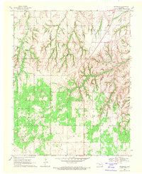
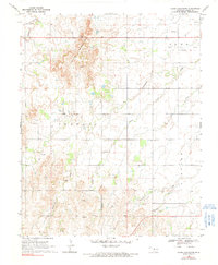
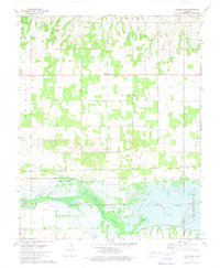
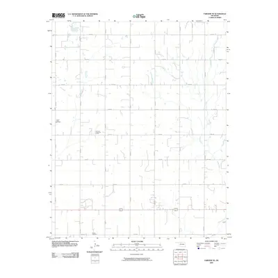
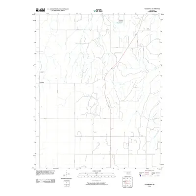
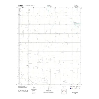
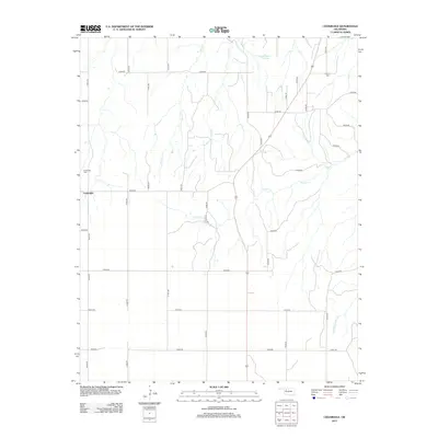
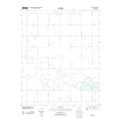
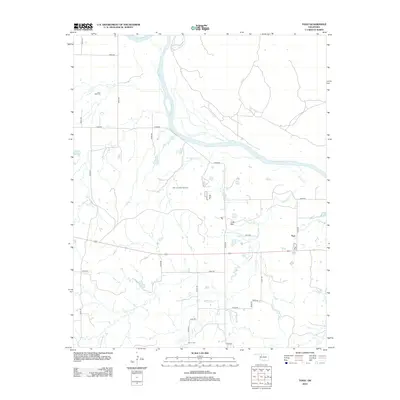
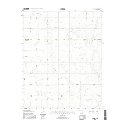
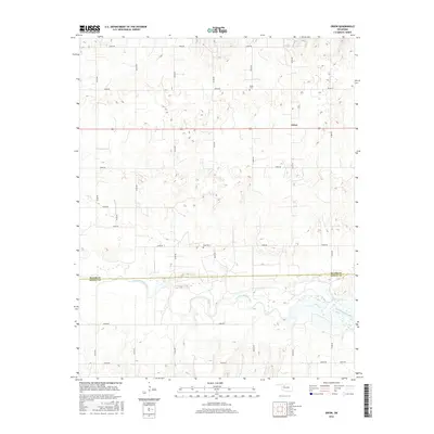
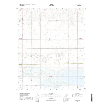
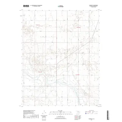
1969 Map of Cedardale
USGS Topo · Published 1971About this map
The boundary of Woodward Co Major Co bisects this late 1960s landscape, where agricultural fields meet the intricate drainages of the Cimarron River watershed. The small settlement of Cedardale serves as a local hub, situated near the western edge of the quadrangle. North of the town, the terrain transitions into the distinct geographic regions of Garvey, Jones, and Bishop, characterized by a dense network of ravines and seasonal watercourses feeding into Griever Creek.
Find a feature on this map
19 named features on this map. Tap any name to fly to it.
Don’t see what you’re looking for? This feature index may not catch every label — zoom into the map to look around manually.
Map Details
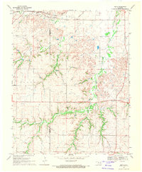
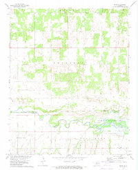
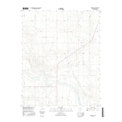
Editions of this 1969 Cedardale Map
This is the sole edition of this map. No revisions or reprints were ever made.
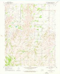
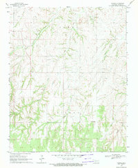
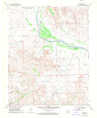
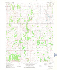
Historical Maps of Cedardale Through Time
66 maps found
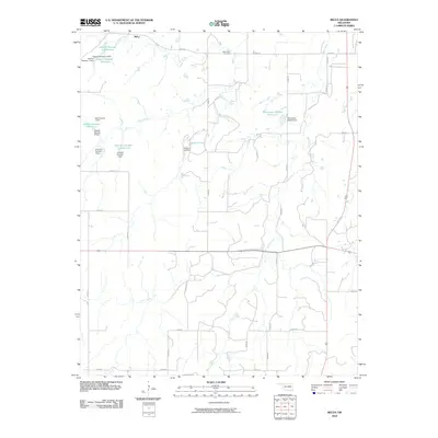
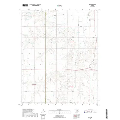
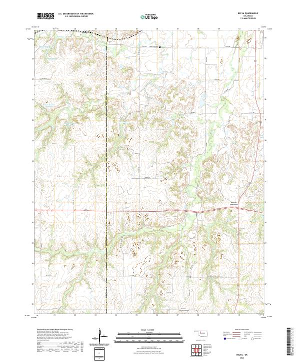
1969 Belva
Major County, OK
1969 Cedardale
Major County, OK
1969 Fairview NE
Major County, OK
1969 Fairview SE
Major County, OK
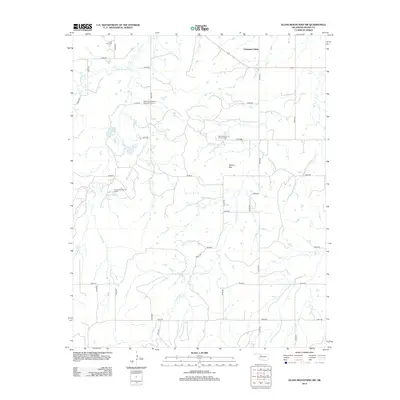
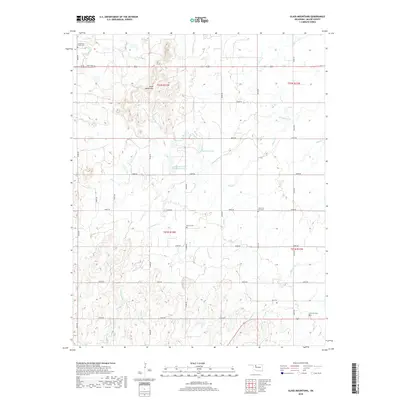
1969 Glass Mountains
Major County, OK
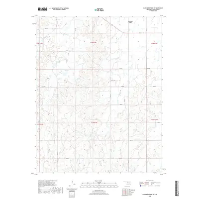
1969 Glass Mountains SW
Major County, OK
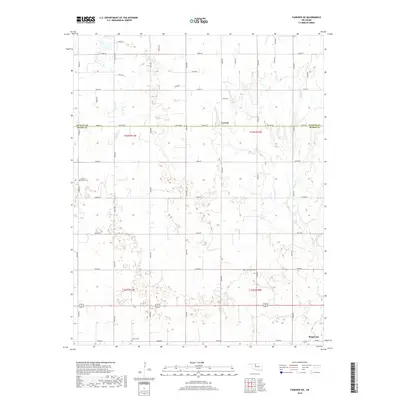
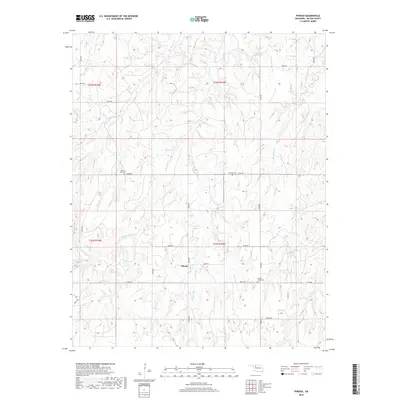
1969 Phroso
Major County, OK
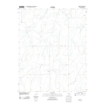
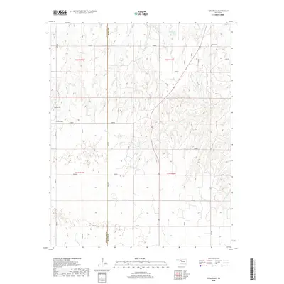
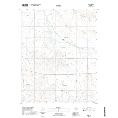
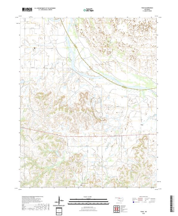
1969 Togo
Major County, OK
1972 Canton NW
Major County, OK
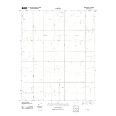
1972 Orion
Major County, OK
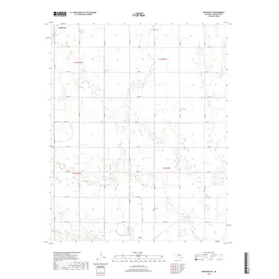
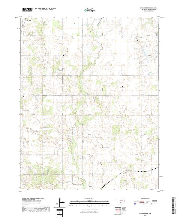
1982 Ringwood SW
Major County, OK
2009 Canton NW
Major County, OK
2009 Fairview NE
Major County, OK
2009 Fairview SE
Major County, OK
2009 Glass Mountains
Major County, OK
2009 Glass Mountains SW
Major County, OK
2010 Belva
Major County, OK
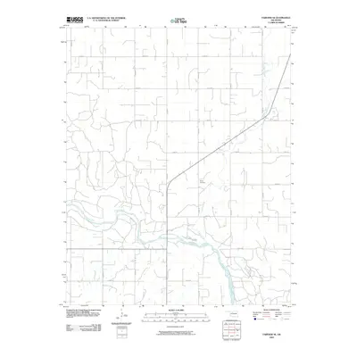
2010 Cedardale
Major County, OK
2010 Orion
Major County, OK
2010 Phroso
Major County, OK
2010 Ringwood SW
Major County, OK
2010 Togo
Major County, OK
2012 Belva
Major County, OK
2012 Canton NW
Major County, OK
2012 Cedardale
Major County, OK
2012 Fairview NE
Major County, OK
2012 Fairview SE
Major County, OK
2012 Glass Mountains
Major County, OK
2012 Glass Mountains SW
Major County, OK
2012 Orion
Major County, OK
2012 Phroso
Major County, OK
2012 Ringwood SW
Major County, OK
2012 Togo
Major County, OK
2016 Belva
Major County, OK
2016 Canton NW
Major County, OK
2016 Cedardale
Major County, OK
2016 Fairview NE
Major County, OK
2016 Fairview SE
Major County, OK
2016 Glass Mountains
Major County, OK
2016 Glass Mountains SW
Major County, OK
2016 Orion
Major County, OK
2016 Phroso
Major County, OK
2016 Ringwood SW
Major County, OK
2016 Togo
Major County, OK
2018 Belva
Major County, OK
2018 Canton NW
Major County, OK
2018 Cedardale
Major County, OK
2018 Fairview NE
Major County, OK
2018 Fairview SE
Major County, OK
2018 Glass Mountains
Major County, OK
2018 Glass Mountains SW
Major County, OK
2018 Orion
Major County, OK
2018 Phroso
Major County, OK
2018 Ringwood SW
Major County, OK
2018 Togo
Major County, OK
2022 Belva
Major County, OK
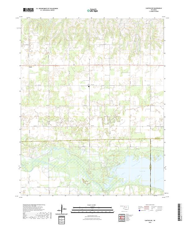
2022 Canton NW
Major County, OK
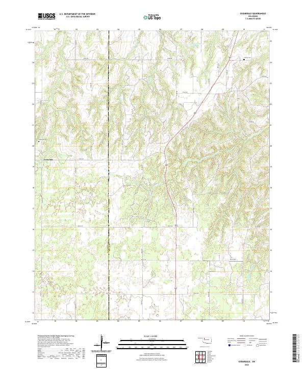
2022 Cedardale
Major County, OK
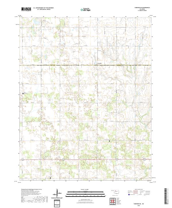
2022 Fairview NE
Major County, OK
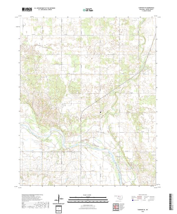
2022 Fairview SE
Major County, OK
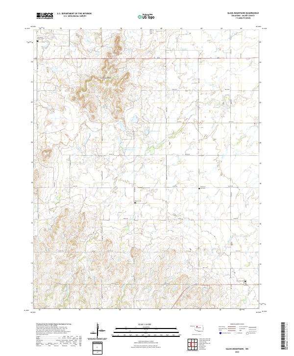
2022 Glass Mountains
Major County, OK
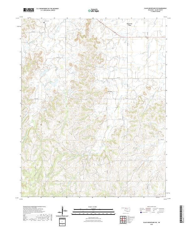
2022 Glass Mountains SW
Major County, OK
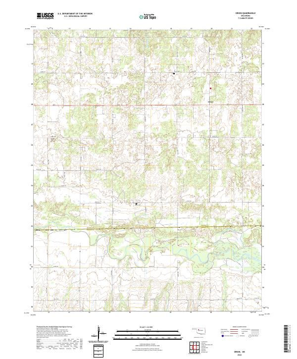
2022 Orion
Major County, OK
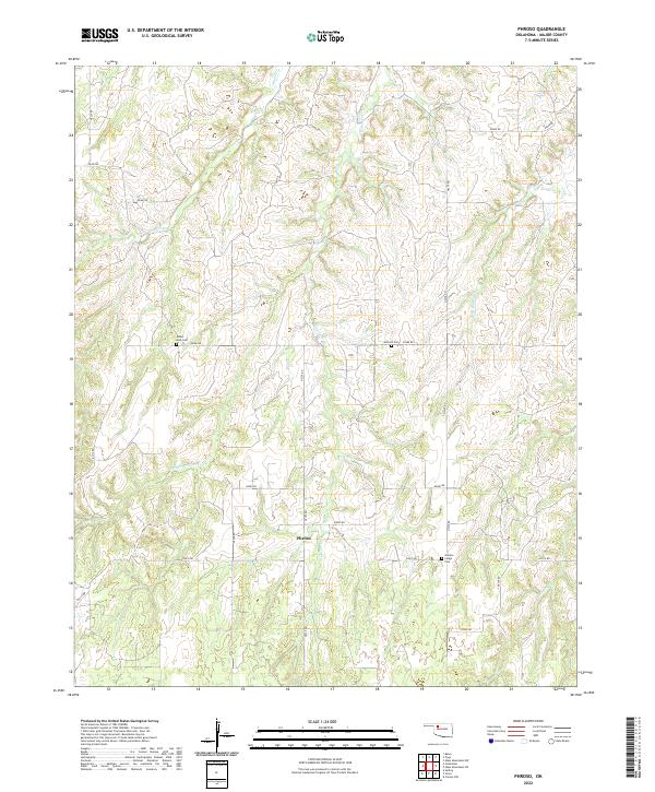
2022 Phroso
Major County, OK
2022 Ringwood SW
Major County, OK
2022 Togo
Major County, OK