
1972 Map of Seiling
USGS Topo · Published 1974About this map
The North Canadian River meanders across this Northwest Oklahoma landscape, defining the transition between the townships of Webster, Sheridan, and Seiling. During the early 1970s, the town of Seiling serves as the regional hub, anchored by its City Hall and proximity to the Seiling Airport. The map documents a rural economy still tied to the land, evidenced by several resource extraction sites including a Caliche Pit in the north and a Gravel Pit near Deep Creek. Local heritage is preserved in quiet corners like the Elm Grove Ch and cemeteries such as Brumfield Cem and Chester Cem, while the small settlement of Chester sits just north of the river's bend. Significant drainage patterns are marked by Bent Cr, Seiling Creek, and Cheyenne Creek, which feed into the main river valley near a local Gaging Station.
Find a feature on this map
27 named features on this map. Tap any name to fly to it.
Don’t see what you’re looking for? This feature index may not catch every label — zoom into the map to look around manually.
Map Details
Editions of this 1972 Seiling Map
This is the sole edition of this map. No revisions or reprints were ever made.
Other maps of this area

1955 · Woodward
USGS Topo · 1:250,000

1958 · Woodward
USGS Topo · 1:250,000

1969 · Mooreland SE
USGS Topo · 1:24,000

1969 · Phroso
USGS Topo · 1:24,000

1969 · Cedardale
USGS Topo · 1:24,000

1969 · Lenora
USGS Topo · 1:24,000

1969 · Mutual NE
USGS Topo · 1:24,000

1972 · Hucmac
USGS Topo · 1:24,000
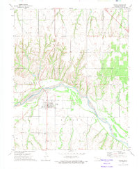
1972 · Taloga
USGS Topo · 1:24,000
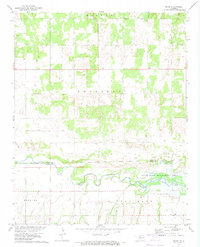
1972 · Orion
USGS Topo · 1:24,000