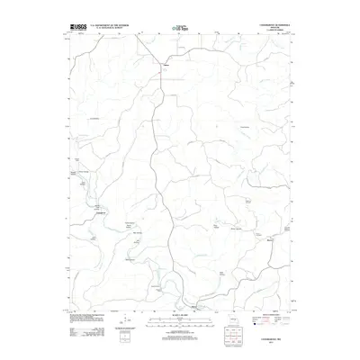
2011 Map of Cedargrove
USGS Topo · Published 2011About this map
Current River and its major tributaries, including Gladden Creek and Big Creek, define the landscape of this Shannon County region. The terrain is deeply incised by dozens of hollows, such as Coal Hollow, Razor Hollow, and Wolf Hollow, which dictate the winding paths of the local county road network. Small community centers and historical landing sites serve as the primary anchors for human activity in this corner of the Ozarks.
Find a feature on this map
51 named features on this map. Tap any name to fly to it.
Don’t see what you’re looking for? This feature index may not catch every label — zoom into the map to look around manually.
Map Details
Editions of this 2011 Cedargrove Map
This is the sole edition of this map. No revisions or reprints were ever made.
Other maps of this area

1932 · Cedar Grove
USGS Topo · 1:48,000

1941 · Salem
USGS Topo · 1:62,500

1941 · Stone Hill
USGS Topo · 1:62,500

1945 · Salem
USGS Topo · 1:62,500

1945 · Stone Hill
USGS Topo · 1:62,500

1945 · Round Spring
USGS Topo · 1:62,500

1947 · Sinkin
USGS Topo · 1:48,000

1949 · Round Spring
USGS Topo · 1:62,500

1949 · Rolla
USGS Topo · 1:250,000

1951 · Montauk
USGS Topo · 1:24,000