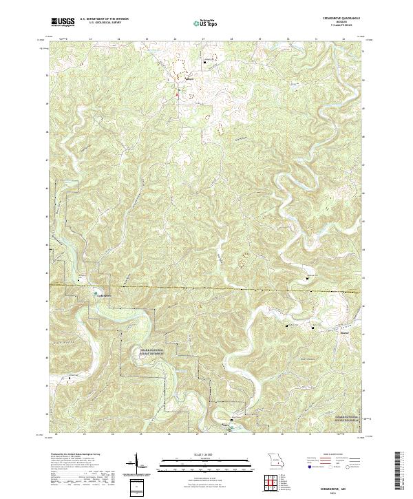
2021 Map of Cedargrove
USGS Topo · Published 2021About this map
The Current River carves through the heart of the Ozark National Scenic Riverway in this contemporary record of Dent and Shannon Counties. The landscape is defined by its dramatic karst topography, featuring numerous deep ravines and hollows such as Razor Hollow, Wolf Hollow, and Parker Hollow. These narrow valleys serve as natural conduits for the region's hydrology, including the notable Welch Spring and Schiefer Spring. Small, remote settlements like Jadwin, Cedargrove, and Rector are scattered across the higher ground and river terraces, often connected by winding county roads and state highways.
Find a feature on this map
69 named features on this map. Tap any name to fly to it.
Don’t see what you’re looking for? This feature index may not catch every label — zoom into the map to look around manually.
Map Details
Editions of this 2021 Cedargrove Map
This is the sole edition of this map. No revisions or reprints were ever made.
Other maps of this area

1932 · Cedar Grove
USGS Topo · 1:48,000

1941 · Salem
USGS Topo · 1:62,500

1941 · Stone Hill
USGS Topo · 1:62,500

1945 · Salem
USGS Topo · 1:62,500

1945 · Stone Hill
USGS Topo · 1:62,500

1945 · Round Spring
USGS Topo · 1:62,500

1947 · Sinkin
USGS Topo · 1:48,000

1949 · Round Spring
USGS Topo · 1:62,500

1949 · Rolla
USGS Topo · 1:250,000

1951 · Montauk
USGS Topo · 1:24,000