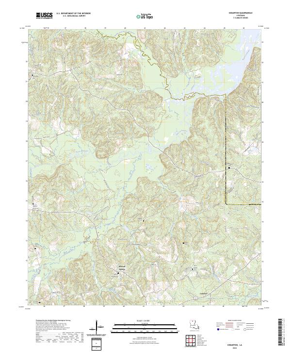
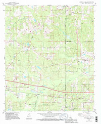
2024 Map of Cedarton
USGS Topo · Published 2024About this map
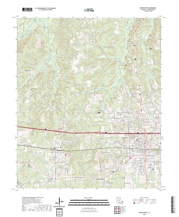
Mineral Springs and Cedarton anchor this landscape along the border of Union and Lincoln Parishes. The terrain is defined by a dense network of drainage, including the winding course of Bayou D'Arbonne and the Middle Fork Bayou D'Arbonne. This area is characterized by a high concentration of small family and community burial grounds, such as Mineral Springs Cem and several Colvin family plots including Colvin G H Cem, Colvin Barmore Cem, and Colvin T R Cem.
Find a feature on this map
81 named features on this map. Tap any name to fly to it.
Don’t see what you’re looking for? This feature index may not catch every label — zoom into the map to look around manually.
Map Details
Editions of this 2024 Cedarton Map
This is the sole edition of this map. No revisions or reprints were ever made.
Historical Maps of Culbertson Through Time
13 maps found
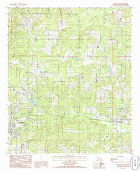
1982 Downsville South
Lincoln Parish, LA
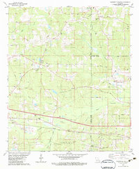
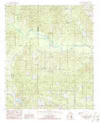
1985 Cedarton
Lincoln Parish, LA
1985 Ruston East
Lincoln Parish, LA
1985 Ruston West
Lincoln Parish, LA
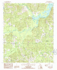
1986 Lake Foursome
Lincoln Parish, LA
1994 Downsville South
Lincoln Parish, LA
1994 Ruston East
Lincoln Parish, LA
1994 Ruston West
Lincoln Parish, LA
2024 Cedarton
Lincoln Parish, LA
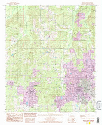
2024 Downsville South
Lincoln Parish, LA
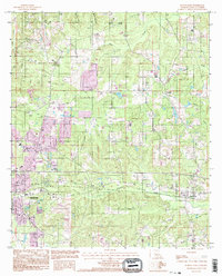
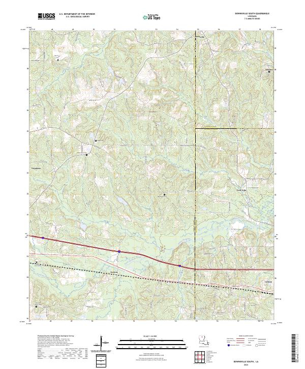
2024 Lake Foursome
Lincoln Parish, LA
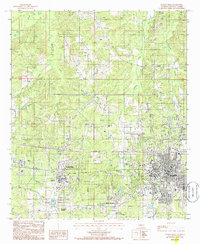
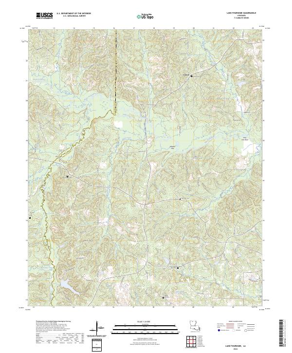
2024 Ruston East
Lincoln Parish, LA
2024 Ruston West
Lincoln Parish, LA