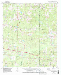
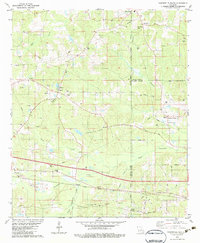
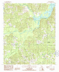
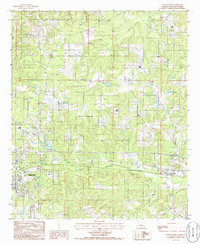
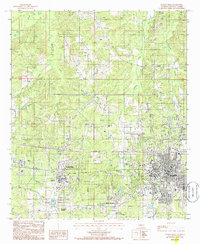
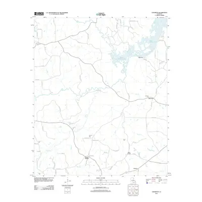
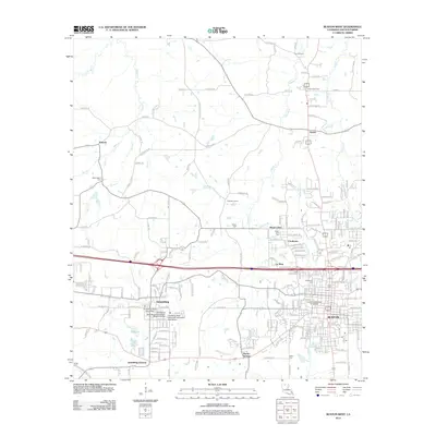
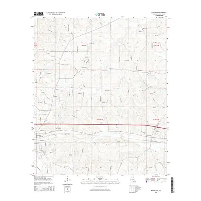
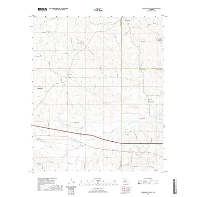
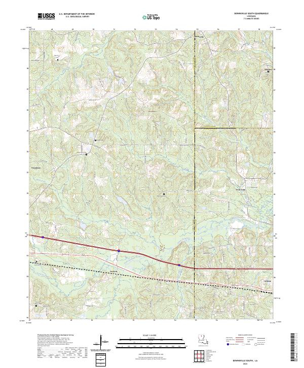
1994 Map of Downsville South
USGS Topo · Published 1995About this map
The Tremont Gas Field and Calhoun Gas and Oil Field dominate the subsurface landscape of this mid-1990s Louisiana survey, where an extensive network of pipelines and gas wells interweaves with rural homesteads and family cemeteries. The terrain is defined by the drainage patterns of Choudrant Bayou and Squire Creek, which carve through the pine-covered hills of the Lincoln and Ouachita border.
Find a feature on this map
50 named features on this map. Tap any name to fly to it.
Don’t see what you’re looking for? This feature index may not catch every label — zoom into the map to look around manually.
Map Details
Editions of this 1994 Downsville South Map
This is the sole edition of this map. No revisions or reprints were ever made.
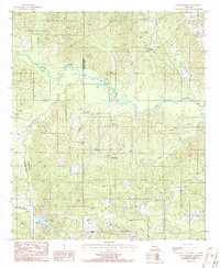
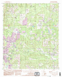
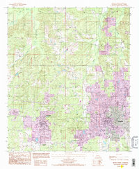
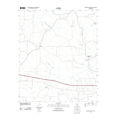
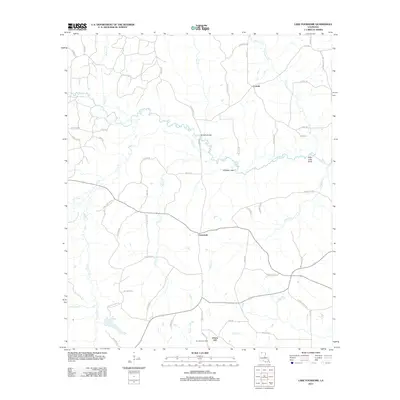
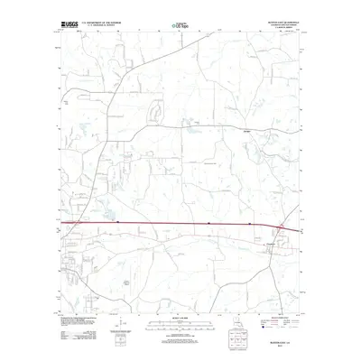
Historical Maps of Choudrant Through Time
33 maps found
1982 Downsville South
Lincoln Parish, LA
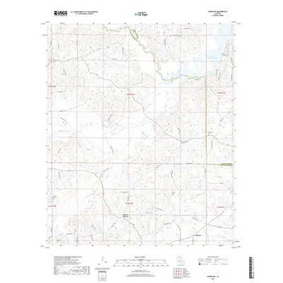
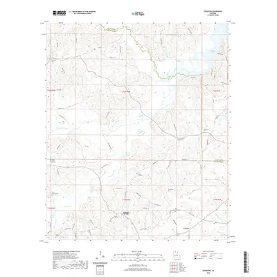
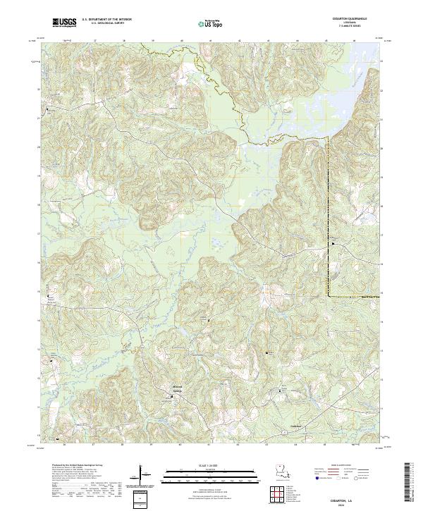
1985 Cedarton
Lincoln Parish, LA
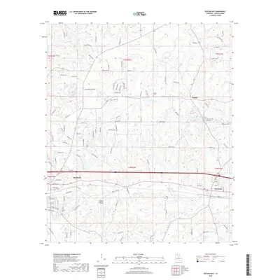
1985 Ruston East
Lincoln Parish, LA
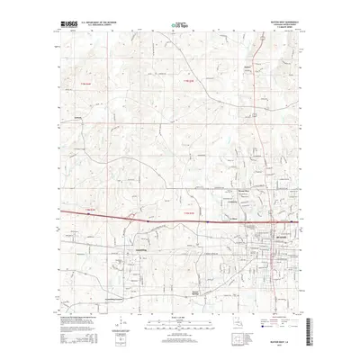
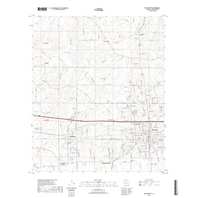
1985 Ruston West
Lincoln Parish, LA
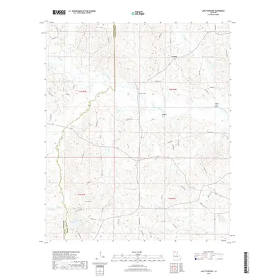
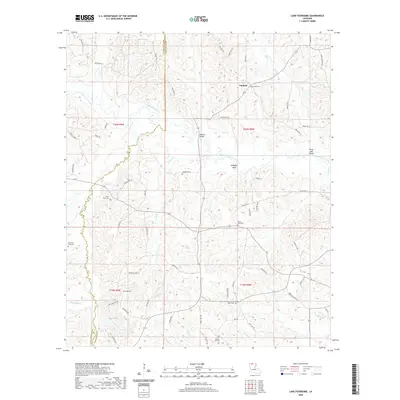
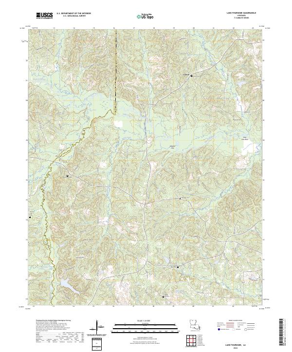
1986 Lake Foursome
Lincoln Parish, LA
1994 Downsville South
Lincoln Parish, LA
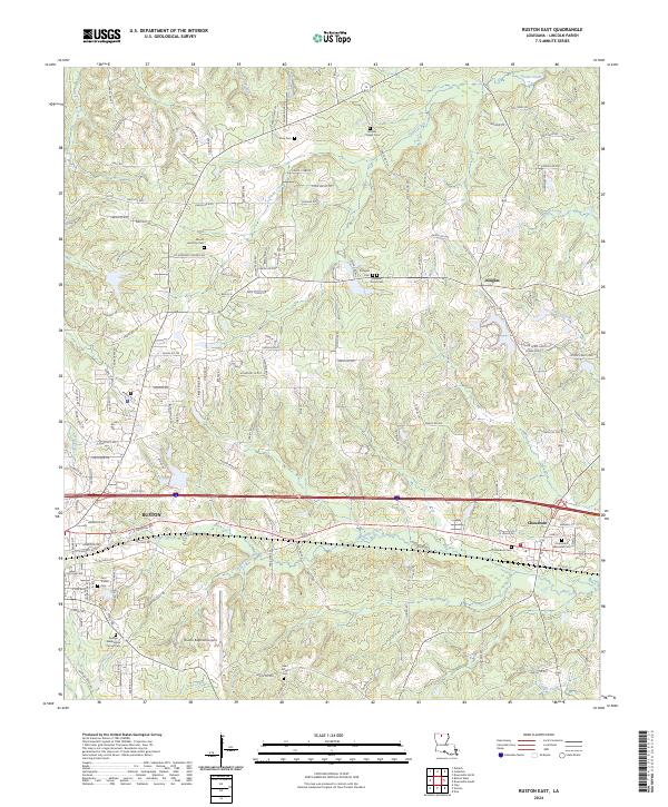
1994 Ruston East
Lincoln Parish, LA
1994 Ruston West
Lincoln Parish, LA
2012 Cedarton
Lincoln Parish, LA
2012 Downsville South
Lincoln Parish, LA
2012 Lake Foursome
Lincoln Parish, LA
2012 Ruston East
Lincoln Parish, LA
2012 Ruston West
Lincoln Parish, LA
2015 Cedarton
Lincoln Parish, LA
2015 Downsville South
Lincoln Parish, LA
2015 Lake Foursome
Lincoln Parish, LA
2015 Ruston East
Lincoln Parish, LA
2015 Ruston West
Lincoln Parish, LA
2018 Cedarton
Lincoln Parish, LA
2018 Downsville South
Lincoln Parish, LA
2018 Lake Foursome
Lincoln Parish, LA
2018 Ruston East
Lincoln Parish, LA
2018 Ruston West
Lincoln Parish, LA
2020 Cedarton
Lincoln Parish, LA
2020 Downsville South
Lincoln Parish, LA
2020 Lake Foursome
Lincoln Parish, LA
2020 Ruston East
Lincoln Parish, LA
2020 Ruston West
Lincoln Parish, LA
2024 Cedarton
Lincoln Parish, LA
2024 Downsville South
Lincoln Parish, LA
2024 Lake Foursome
Lincoln Parish, LA
2024 Ruston East
Lincoln Parish, LA
2024 Ruston West
Lincoln Parish, LA