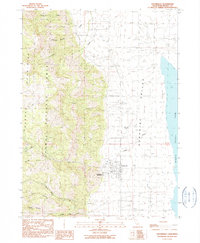
1990 Map of Cedarville
USGS Topo · Published 1990About this map
Cedarville serves as the focal point of this northeastern California survey, situated at the edge of the Surprise Valley and the eastern base of the Warner Mountains. The settlement pattern reflects the area's transition from high-elevation timber and watershed in the Modoc National Forest to the arid basin floor. The proximity of the Cedarville Rancheria and the local Cem near the town center highlights the community's established history.
Find a feature on this map
22 named features on this map. Tap any name to fly to it.
Don’t see what you’re looking for? This feature index may not catch every label — zoom into the map to look around manually.
Map Details
Editions of this 1990 Cedarville Map
This is the sole edition of this map. No revisions or reprints were ever made.
Other maps of this area

1886 · Alturas
USGS Topo · 1:250,000

1892 · Alturas
USGS Topo · 1:250,000

1954 · Alturas
USGS Topo · 1:250,000

1958 · Alturas
USGS Topo · 1:250,000

1962 · Alturas
USGS Topo · 1:250,000

1962 · Davis Creek
USGS Topo · 1:62,500

1962 · Cedarville
USGS Topo · 1:62,500

1963 · Warren Peak
USGS Topo · 1:24,000
1963 · Hansen Island
USGS Topo · 1:24,000

1963 · Shields Creek
USGS Topo · 1:24,000